
What's Happening?
Chief Meteorologist Dave Roberts of WLBT has issued a First Alert Forecast for freeze conditions expected to impact Mississippi and surrounding areas this weekend. A strong high-pressure system originating from south-central Canada is driving cold, dry
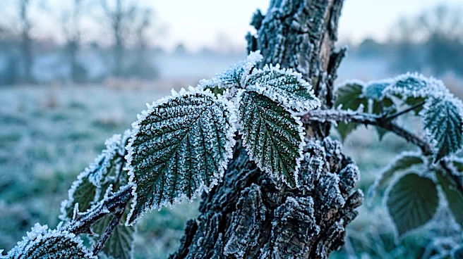
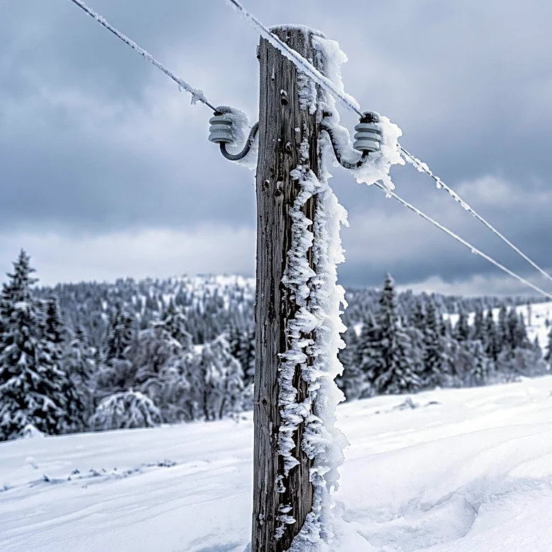
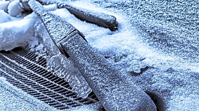
air into the region, leading to significantly lower temperatures. Tonight, temperatures are projected to drop into the upper 20s to mid-30s across most of the area, with freeze conditions anticipated. South of Interstate 20, lows will range from the mid-30s to upper 30s, where frost is likely, and freeze conditions remain possible, particularly along and east of Interstate 55. Highs on Saturday are expected to be seasonably cool, ranging from the mid-50s to mid-60s. Another round of freeze conditions is forecast for Saturday night, primarily affecting the northeastern portion of the area.
Why It's Important?
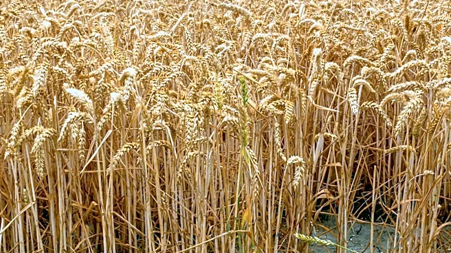
The impending freeze conditions are important for residents and agricultural sectors in Mississippi. Freezing temperatures can pose risks to sensitive crops, requiring farmers to take protective measures to prevent damage. For homeowners, these conditions necessitate precautions such as insulating pipes and protecting outdoor plants to avoid property damage and loss. The forecast also impacts daily life, as residents will need to prepare for colder weather, including ensuring adequate heating and dressing warmly. The emphasis on a 'First Alert Forecast' highlights the potential severity of the cold snap, prompting early awareness and preparation to mitigate adverse effects on public safety and economic activities reliant on weather-sensitive operations.
What's Next?
Following the weekend's freeze, a shift in the weather pattern is expected to occur on Sunday as an upper-level low moves into the region. This change will introduce some moisture, though significant rainfall is not anticipated. Temperatures are projected to gradually warm throughout the next week. Monday will see seasonably cool temperatures, with highs in the upper 50s to low 60s. By Wednesday and Thursday, temperatures are expected to become seasonably warm, reaching highs in the upper 60s to mid-70s. Isolated frost remains a possibility on Sunday and Monday nights, indicating that residents should continue to monitor weather updates and take necessary precautions during these periods.
Beyond the Headlines
The recurring nature of early-season freeze warnings, as highlighted by Chief Meteorologist Dave Roberts, underscores the broader implications of climate variability on regional weather patterns. While this specific event is a localized cold snap, the increasing frequency or intensity of such events can have long-term effects on agricultural planning, infrastructure resilience, and public health strategies. Communities may need to adapt their preparedness protocols, investing in more robust infrastructure to withstand extreme temperature fluctuations and educating the public on consistent cold weather safety. These weather phenomena also influence energy consumption patterns, potentially leading to increased demand for heating and subsequent strain on utility grids, prompting discussions on energy efficiency and sustainable resource management.