


What's Happening?
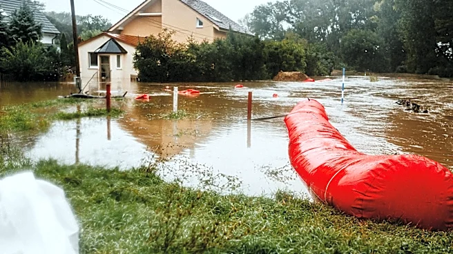
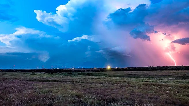
North Texas is currently experiencing multiple waves of rain and thunderstorms, leading to hazardous travel conditions and prompting a flood watch that extends through Sunday afternoon. The region is expected to remain humid as additional waves of rain continue
overnight. This weather pattern has created significant challenges for residents and travelers in the area, as the heavy rainfall increases the risk of flash flooding and complicates transportation. The ongoing storms are part of a larger weather system affecting the region, with meteorologists closely monitoring the situation to provide timely updates and warnings to the public.
Why It's Important?
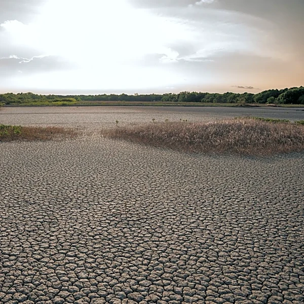
The severe weather conditions in North Texas have significant implications for public safety and infrastructure. The flood watch indicates a heightened risk of flash flooding, which can lead to property damage, road closures, and potential evacuations. Residents and local authorities must remain vigilant and prepared to respond to rapidly changing conditions. The impact on travel and daily activities can disrupt local businesses and services, emphasizing the need for effective communication and emergency preparedness. Additionally, the weather event highlights the importance of infrastructure resilience in the face of extreme weather patterns, which are becoming more frequent due to climate change.
What's Next?
As the flood watch continues, local authorities and emergency services are likely to remain on high alert, ready to respond to any incidents of flooding or other weather-related emergencies. Residents are advised to stay informed through local news and weather updates, and to take necessary precautions to protect themselves and their property. The situation may prompt discussions on improving flood management and infrastructure resilience in the region, as well as the need for community preparedness plans to mitigate the impact of future severe weather events.