What's Happening?
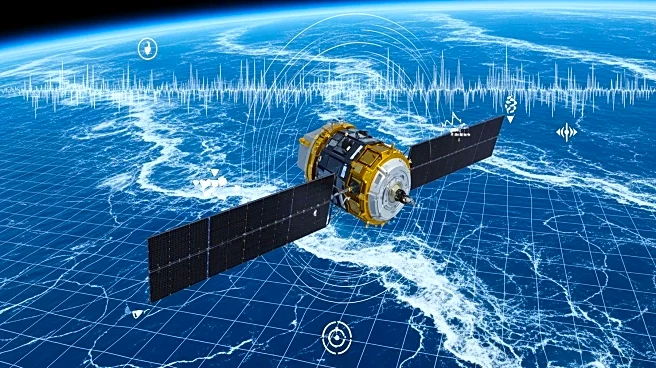
NASA's Surface Water and Ocean Topography (SWOT) mission has produced one of the most detailed maps of Earth's seafloors. The mission, a collaboration between NASA and CNES, uses satellite observations
to map ocean surface heights, revealing previously hidden underwater features. The maps highlight submarine canyons, ridges, and tectonic structures, providing insights into geological processes. The data is transformed into gravity gradient maps, which emphasize small features and help scientists understand seafloor dynamics.
Why It's Important?
The detailed seafloor maps have significant implications for oceanography, geology, and climate science. They improve our understanding of ocean currents, internal tides, and seafloor spreading, which are crucial for climate models. The maps also aid in planning submarine infrastructure, assessing tsunami and earthquake risks, and supporting navigation in uncharted waters. By revealing hidden geological features, the maps contribute to reconstructing past plate movements and understanding Earth's geological history.
What's Next?
As SWOT continues its observations, the resolution of seafloor maps is expected to improve, revealing even smaller features. Researchers plan to integrate satellite data with existing sonar measurements to enhance global bathymetric charts. This will benefit navigation, hazard planning, and ocean modeling. The ongoing mission will provide valuable data for scientific research and practical applications in marine industries.
Beyond the Headlines
The SWOT mission highlights the potential of satellite technology in mapping Earth's hidden landscapes. It underscores the importance of international collaboration in advancing scientific knowledge. The mission also raises questions about the accessibility and use of satellite data for global research and policy-making.


