






What's Happening?
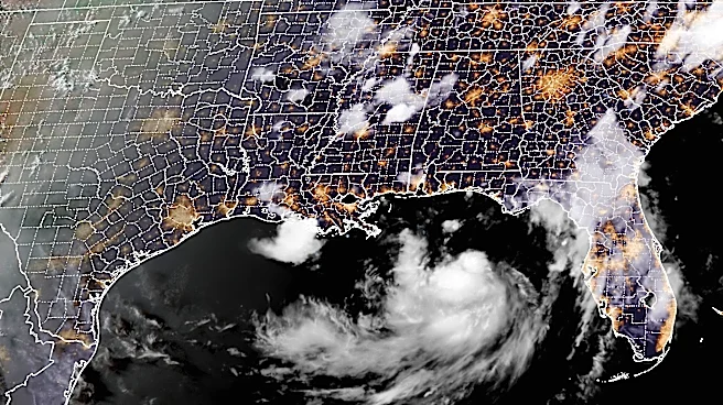
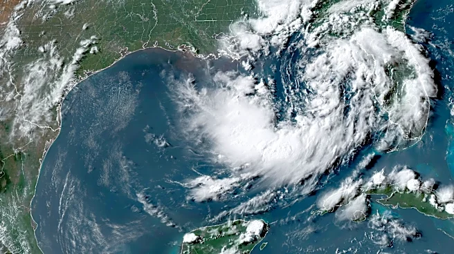
Tropical Storm Bertha, having moved inland over the Texas-Louisiana border, is expected to dissipate by Friday morning. Despite its weakening, the storm is causing significant weather disruptions far from its center. Bertha's moisture is contributing
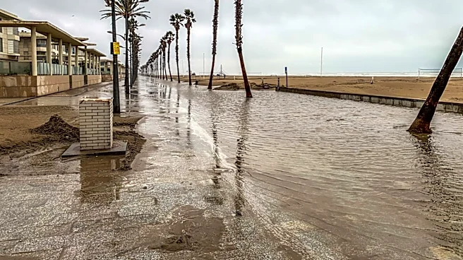
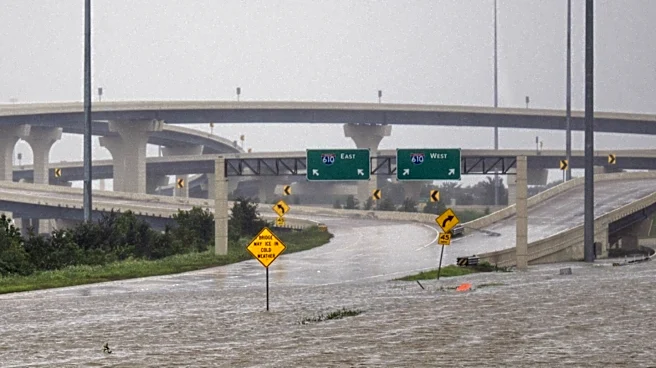
to heavy rainfall along a cold front stretching across the Southeast, leading to a heightened risk of flooding from North Carolina to northern Georgia and Alabama. Some areas have already experienced a month's worth of rain in just a few days, with flash flood warnings issued in parts of Virginia, North Carolina, and Tennessee. The storm's impact is compounded by its uneven structure, which is causing tropical storm-force winds along the Texas coast while directing most of its rainfall towards South Texas.
Why It's Important?
The flooding threat posed by Tropical Storm Bertha highlights the challenges of managing extreme weather events, particularly in regions already experiencing drought conditions. The storm's ability to deliver intense rainfall over short periods can overwhelm drainage systems, posing risks to urban areas and infrastructure. This situation underscores the importance of preparedness and effective response strategies to mitigate the impact of such weather events. The storm also serves as a reminder of the broader implications of climate patterns, such as El Niño, which can influence the frequency and intensity of tropical storms.
What's Next?
As Bertha continues to move inland, the focus will shift to managing the immediate flooding risks and assessing the damage in affected areas. Emergency services and local governments will need to coordinate efforts to ensure public safety and provide assistance where needed. The ongoing rainfall and potential for further flooding will require vigilance and adaptive measures to protect communities and infrastructure. Additionally, the storm's impact may prompt discussions on improving flood management systems and enhancing resilience to future weather events.