

What's Happening?
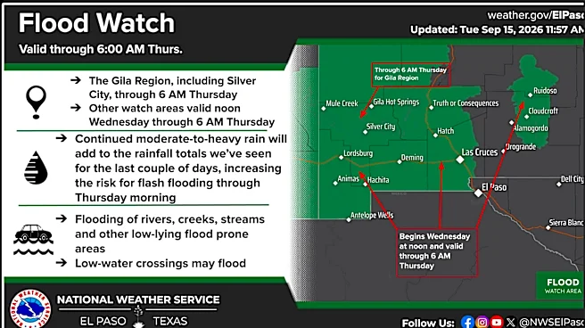
The National Weather Service has issued a flood watch for Montezuma County, Colorado, effective from Wednesday afternoon until 12 a.m. Friday. This alert comes as a series of storms are expected to bring additional rain to areas already saturated by recent
precipitation. Brooke Scholtens, a meteorologist with the National Weather Service office in Grand Junction, indicated that the Cortez area could receive approximately another inch of rain over the next few days. The primary concern is the potential for flash flooding, particularly in at-risk areas such as recent burn scars from the Ferris Fire, steep terrain, and other flood-prone locations, where excessive run-off could cause rivers, streams, and creeks to overflow. Chances for precipitation are high, with 100% likelihood overnight Wednesday into early Thursday morning, and 70% to 90% throughout Thursday. Rainfall is expected to continue through most of Friday.
Why It's Important?
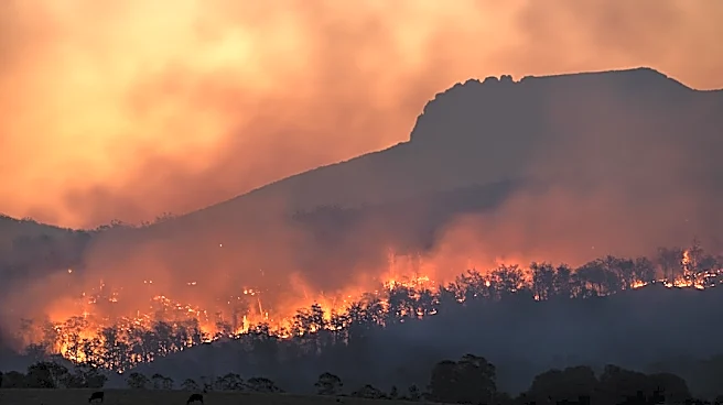
This flood watch is crucial for the safety and preparedness of residents in Montezuma County, especially those living in flood-prone areas. Flash flooding can develop rapidly, posing significant risks to life and property. The mention of recent burn scars from the Ferris Fire highlights a particular vulnerability, as these areas are highly susceptible to flash floods and debris flows due to altered soil conditions. The continuous rainfall on already saturated ground increases the likelihood of such events. For emergency services and local authorities, the flood watch serves as an early warning, enabling them to prepare for potential response operations and to disseminate critical safety information to the public. Drivers are specifically cautioned to be aware of changing storm conditions and to avoid flooded roads, emphasizing the danger of driving through standing water. The widespread rain, however, has also had a positive impact by lowering the risk of wildfires across the San Juan National Forest, leading to the rescission of fire restrictions.
What's Next?
Residents in Montezuma County are advised to stay alert for any issued warnings, as a flood watch can quickly escalate to a flash flood warning depending on storm development. The high chances of precipitation are expected to continue through Friday, with a slight decrease by Saturday afternoon. The National Weather Service will continue to monitor rainfall amounts and storm movements, providing updates as conditions evolve. Local authorities and emergency management agencies will likely remain on heightened alert, ready to respond to any flooding incidents. While the immediate focus is on flood safety, the reduced wildfire risk allows for the resumption of activities like campfires in the San Juan National Forest, though outdoor fire safety practices are still encouraged. The community will need to balance vigilance against flooding with the benefits of reduced fire danger.
Beyond the Headlines
The flood watch in Montezuma County illustrates the complex and sometimes contradictory impacts of weather patterns, where one hazard (flooding) is heightened while another (wildfire) is mitigated. This situation underscores the increasing variability of weather events, which can strain local resources and require adaptive management strategies. The vulnerability of burn scar areas to flash flooding is a stark reminder of the long-term environmental consequences of wildfires, extending well beyond the initial blaze. This event also highlights the critical role of meteorological forecasting and public communication in safeguarding communities. As climate patterns continue to shift, regions like Montezuma County may face a recurring cycle of drought, wildfire, and subsequent flood risks, necessitating integrated approaches to land management, infrastructure development, and community preparedness that account for these interconnected environmental challenges.