What is the story about?
What's Happening?
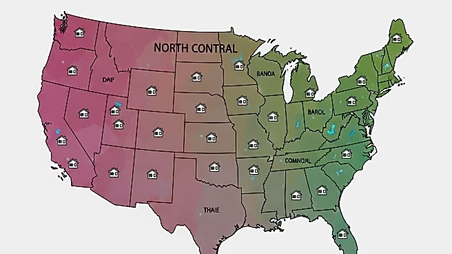
A comprehensive dataset has been developed using aerial imagery to map manufactured housing communities (MHCs) in the North Central United States, particularly focusing on Wisconsin. The dataset was created through a detailed process involving geographic data processing and image classification using Convolutional Neural Networks (CNNs). The project aimed to identify and map MHCs by analyzing satellite and aerial images, resulting in a high-resolution dataset that distinguishes between manufactured housing parks and subdivisions. This dataset provides valuable insights into the spatial distribution of MHCs, highlighting concentrations near urban centers and rural clusters.
Why It's Important?
The creation of this dataset is significant for urban planning, housing policy, and social research. By providing a detailed map of MHCs, policymakers and researchers can better understand the distribution and characteristics of these communities, which are often underrepresented in traditional housing data. This information can inform decisions on infrastructure development, resource allocation, and community services. Additionally, the dataset can aid in identifying areas that may require targeted interventions to improve living conditions and access to amenities for residents of manufactured housing communities.
What's Next?
The dataset is expected to be used by researchers and policymakers to conduct further studies on manufactured housing communities. Future research may focus on the socio-economic conditions of these communities, their impact on local economies, and potential policy interventions. The dataset could also be expanded to include other regions, providing a more comprehensive view of manufactured housing across the United States. Collaboration with local governments and housing organizations may enhance the dataset's utility and application in addressing housing challenges.


