


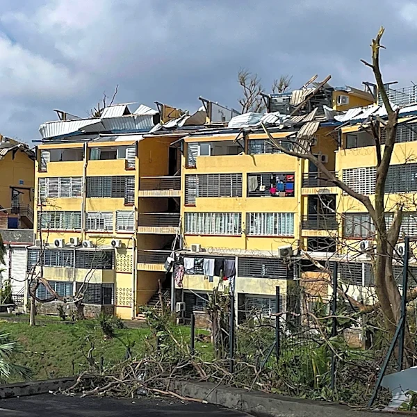





What's Happening?
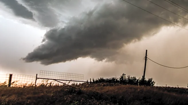
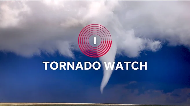
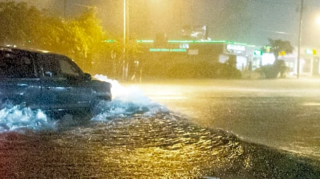
The Washington D.C. region is facing a significant weather threat as severe storms move through the area. The National Weather Service has issued a tornado watch for several counties in Maryland, Virginia, and D.C. until 10 p.m. Additionally, a flash
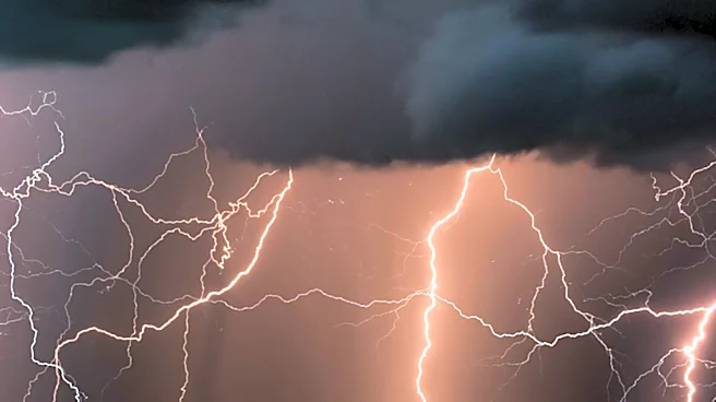
flood warning is in effect for parts of Anne Arundel and Baltimore counties and the city of Baltimore. The storms are expected to bring damaging winds, large hail, and heavy rain, with the potential for isolated tornadoes. The severe weather is associated with a strong cold front moving through the region, with storm chances ending between 8 p.m. and 10 p.m.
Why It's Important?
The severe weather poses a significant risk to public safety, with the potential for tornadoes, flash flooding, and damaging winds. These conditions could lead to property damage, power outages, and travel disruptions. The tornado watch and flash flood warnings highlight the need for residents to remain vigilant and prepared for rapidly changing weather conditions. The economic impact could be considerable, affecting businesses, transportation, and public services in the region.
What's Next?
Residents are advised to stay informed through local news and weather updates and to take precautions to protect themselves and their property. The National Weather Service and local authorities will continue to monitor the situation and provide updates as necessary. The severe weather is expected to clear by late evening, with cooler and less humid conditions forecast for the following days. Residents should remain cautious and prepared for any additional weather advisories.