


What's Happening?
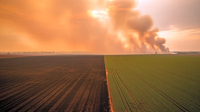
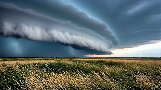
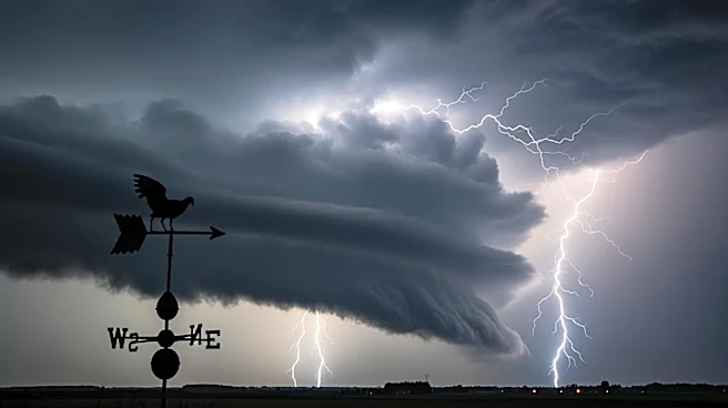
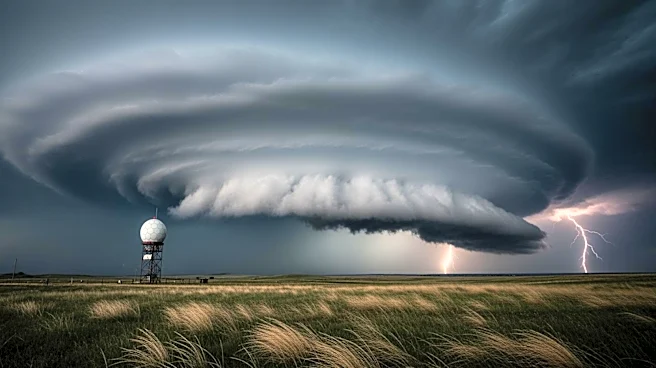
Florida is facing a significant weather threat as a line of severe thunderstorms is expected to bring tornadoes, damaging winds, and heavy rain to parts of the state. The National Weather Service has identified northern and central Florida as areas of concern,
with a low-pressure system interacting with warm, moist air to create conditions favorable for severe weather. This comes as Florida is experiencing extreme drought conditions, with some areas running significantly below average rainfall for the year. While the incoming rain may provide short-term relief for wildfire risks, it is unlikely to resolve the broader drought issues.
Why It's Important?
The severe weather poses a dual threat to Florida, with the potential for both tornadoes and exacerbated wildfire conditions. The state's ongoing drought has heightened the risk of wildfires, and while the rain could help reduce immediate fire dangers, it will not address the long-term moisture deficits. This situation underscores the complex challenges Florida faces, balancing severe weather preparedness with ongoing drought management. The potential for tornadoes also highlights the need for residents to stay alert and have multiple ways to receive weather warnings, as these storms can develop quickly and cause significant damage.
What's Next?
Emergency managers are advising Floridians to remain vigilant and ensure they have access to weather alerts. The focus will remain on monitoring the severe storm potential, while fire officials continue to stress the importance of wildfire safety. As the state moves into peak storm and wildfire season, residents should be prepared for a volatile mix of weather hazards, including severe storms, flooding, and renewed wildfire risks. Officials recommend reviewing safety plans, particularly for those in vulnerable areas, and avoiding outdoor burning during periods of elevated fire danger.