


What's Happening?
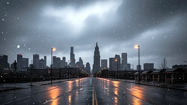
Chicagoland is experiencing a cold start to March, with weather forecasts predicting breezy conditions over the next 36 hours. The region is expected to see lake-effect snow and flurries throughout the night and into Sunday. This weather pattern is typical
for the area during this time of year, as cold air moves across the warmer waters of Lake Michigan, creating localized snow bands. Residents are advised to prepare for potentially challenging travel conditions due to the snow and reduced visibility.
Why It's Important?
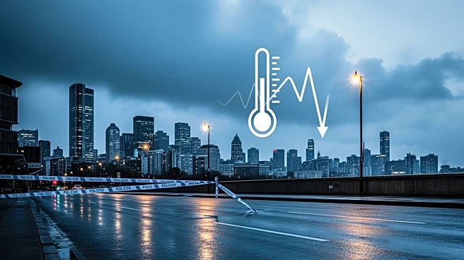
The cold weather and lake-effect snow can significantly impact daily life in Chicago, affecting transportation and safety. Commuters may face delays and hazardous driving conditions, particularly in areas prone to heavy snow accumulation. The weather can also affect local businesses, especially those reliant on foot traffic, as residents may choose to stay indoors. Additionally, the cold snap serves as a reminder of the region's vulnerability to sudden weather changes, highlighting the importance of preparedness and effective communication from local authorities.
What's Next?
As the cold weather persists, local authorities and meteorologists will continue to monitor the situation and provide updates to the public. Residents should stay informed through local news outlets and weather services for the latest forecasts and advisories. In the coming days, temperatures are expected to fluctuate, which could lead to melting and refreezing, creating additional hazards such as icy roads and sidewalks. The city may deploy additional resources to manage snow removal and ensure public safety.