





What's Happening?
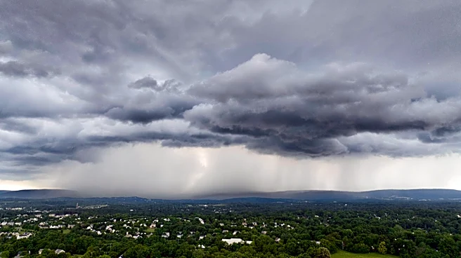
The National Weather Service has issued a severe thunderstorm watch for the DC area, with storms expected to occur between 3 and 7 p.m. today. The region is under an elevated risk for severe weather, with potential for damaging wind gusts, hail, heavy
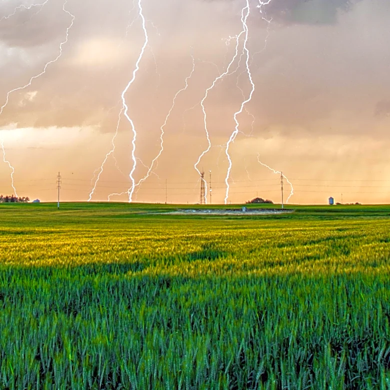
rain, and frequent lightning. The current weather pattern, influenced by a heat dome over the south-central U.S. and cooler air in the north, is conducive to the development of large thunderstorm complexes. These systems are expected to move southeastward, affecting the Mid-Atlantic region through midweek.
Why It's Important?
The severe weather poses risks to public safety and infrastructure, with potential impacts on transportation, power supply, and property. Residents in the affected areas are advised to stay informed and take precautions to protect themselves and their property. The storms could disrupt daily activities and lead to power outages, affecting businesses and households. Emergency services and local authorities are likely to be on high alert to respond to any incidents caused by the severe weather.
What's Next?
The weather pattern suggests continued storm activity through Wednesday, with the greatest risk potentially shifting south of the DC area. Residents should monitor weather updates and be prepared for possible changes in the forecast. Local authorities may issue additional warnings or advisories as the situation develops. The ongoing weather conditions highlight the importance of preparedness and resilience in the face of natural hazards.