






What's Happening?
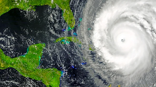
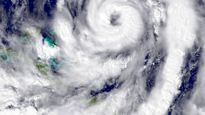
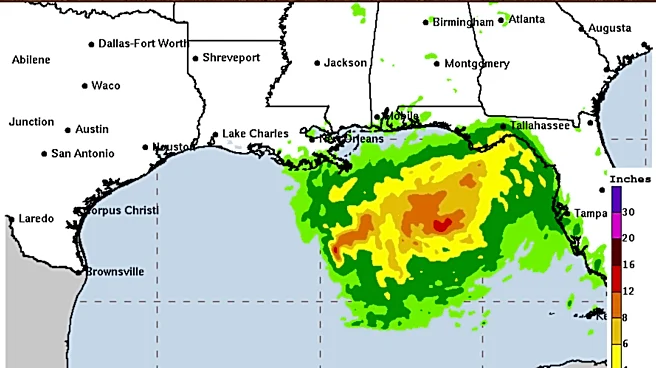
A tropical depression has formed in the Gulf of Mexico, according to the National Hurricane Center. This system, located off the coast of Florida, is expected to bring high winds and heavy rains to the Gulf Coast, including Florida, Alabama, Mississippi,
and Louisiana. While the depression could develop into a tropical storm, named Bertha, forecasters suggest that Saharan dust and strong wind shear may prevent it from becoming a hurricane. The depression currently has maximum sustained winds below 39 mph, but if it strengthens, it could reach tropical storm status with winds between 39-73 mph.
Why It's Important?
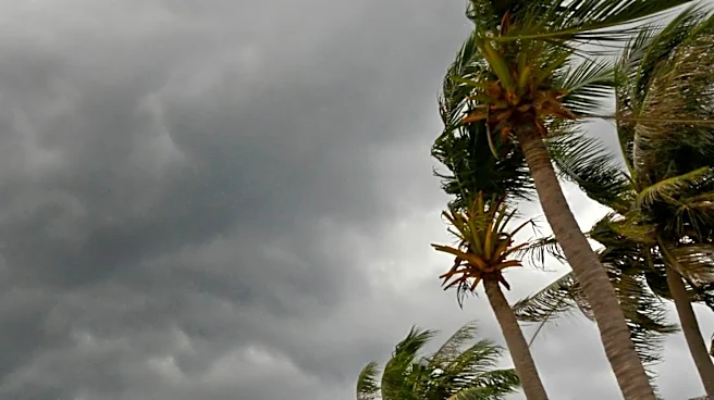
The development of this tropical depression is significant as it could lead to severe weather conditions along the Gulf Coast. High winds and heavy rains pose risks of flooding and damage to infrastructure, affecting local communities and economies. The potential for the depression to become a named storm highlights the ongoing threat of tropical weather during the Atlantic hurricane season. Residents and authorities in the affected areas need to remain vigilant and prepared for possible impacts.
What's Next?
The National Hurricane Center will continue to monitor the tropical depression as it moves through the Gulf of Mexico. Communities along the Gulf Coast are advised to stay updated on weather forecasts and prepare for potential impacts. Emergency services may need to mobilize resources to respond to any severe weather conditions that arise. The situation underscores the importance of readiness during the hurricane season.