


What's Happening?
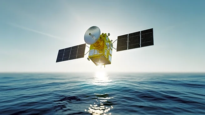
NASA and the European Space Agency (ESA) are finalizing preparations for the launch of the Sentinel-6B satellite, scheduled for November 17 from Vandenberg Space Force Base in California. The satellite will measure sea level for nearly the entire globe,
providing crucial data for public safety, city planning, and commercial interests. Sentinel-6B will continue the data record started by previous satellites, becoming the official reference for global sea level rise measurements.
Why It's Important?
The Sentinel-6B mission is vital for understanding and addressing climate change impacts, particularly rising sea levels. Accurate sea level measurements are essential for developing strategies to mitigate coastal flooding and protect infrastructure. The collaboration between NASA and ESA exemplifies international efforts to tackle global environmental challenges through advanced technology and data sharing.
What's Next?
Following the launch, Sentinel-6B will take over from its twin, Sentinel-6 Michael Freilich, ensuring continuity in sea level monitoring. The satellite's data will support ongoing research and policy development aimed at combating climate change. The mission's success could lead to further international collaborations in Earth science and environmental monitoring.