





What's Happening?
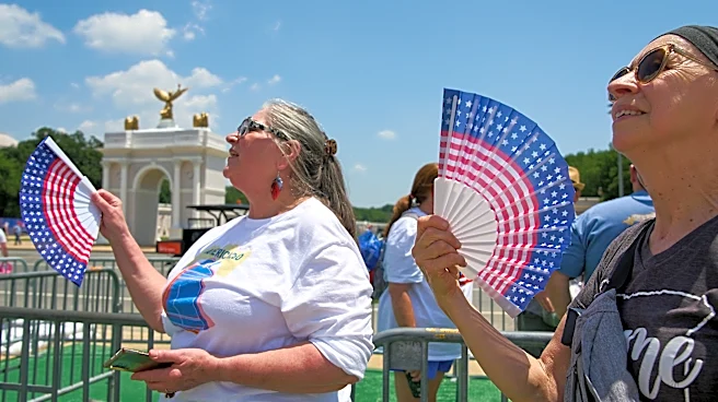
The Twin Cities area is experiencing a significant rise in temperatures, with forecasts predicting highs in the mid to upper 80s on Friday, climbing to the lower 90s over the weekend. This increase is attributed to a strong area of high pressure developing
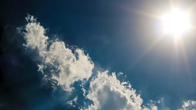
over the central United States. The weather will be characterized by plenty of sunshine, although a few stray storms with possible hail may occur in western Minnesota. The heat is expected to feel even more intense due to high dew points, making it feel 5-10 degrees warmer. The hot and dry conditions are likely to persist into early next week, with winds picking up slightly.
Why It's Important?
The anticipated heatwave in the Twin Cities could have several implications for residents and local infrastructure. High temperatures can lead to increased energy consumption as people rely more on air conditioning, potentially straining the power grid. Additionally, the heat can pose health risks, particularly for vulnerable populations such as the elderly and those with pre-existing health conditions. The weather conditions may also impact outdoor activities and events planned for the weekend, as well as agricultural operations in the region. Understanding and preparing for these conditions is crucial for minimizing potential disruptions and health risks.
What's Next?
As the heatwave continues, residents and local authorities will need to monitor weather updates and advisories. It is important for individuals to stay hydrated, limit outdoor activities during peak heat hours, and check on vulnerable neighbors. Local governments may issue heat advisories or open cooling centers to provide relief. The weather pattern is expected to remain hot and dry until the end of the following week, when a potential shift could bring some relief. Monitoring the situation closely will be essential for managing the impacts effectively.