
What's Happening?
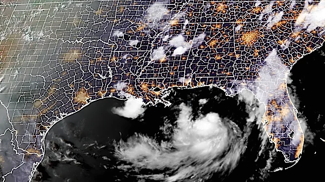
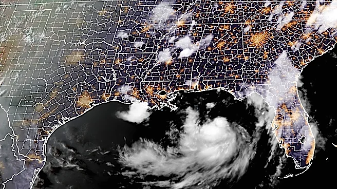
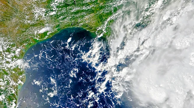
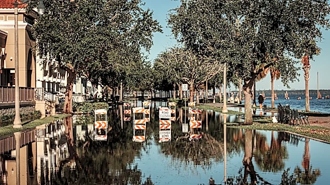
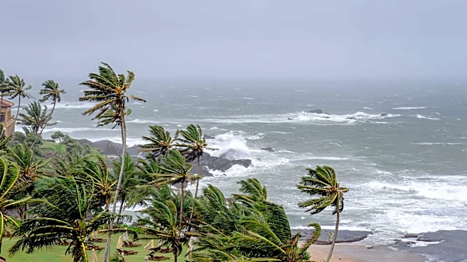
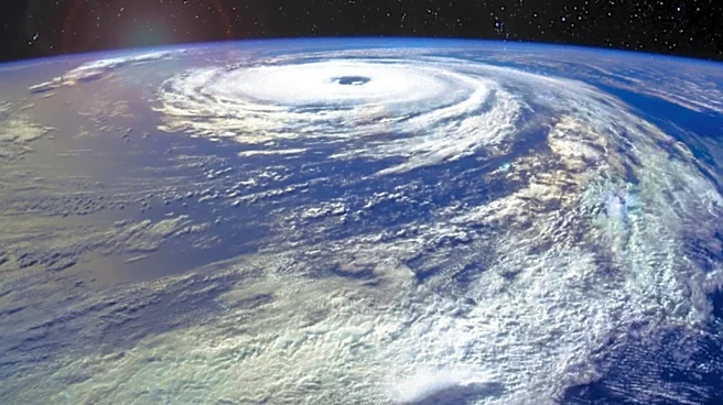
Tropical Storm Bertha, the second named storm of the Atlantic hurricane season, is currently moving along the northern Gulf Coast. The storm is expected to bring up to four feet of storm surge and winds
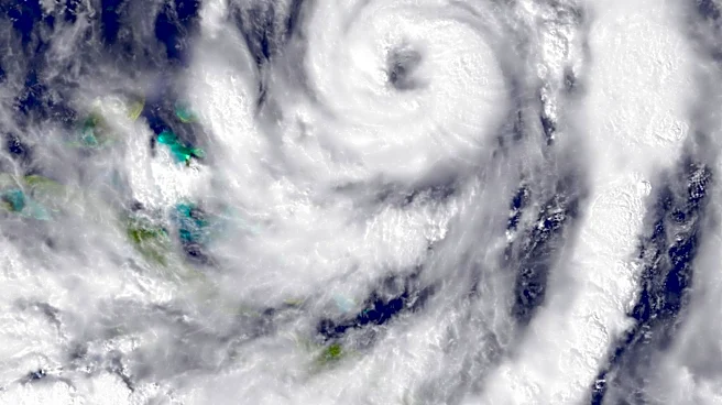
reaching 60 miles per hour as it travels from western Florida to southeastern Louisiana. Despite the potential for significant weather impacts, forecasters do not anticipate Bertha strengthening into a hurricane. The National Hurricane Center and Colorado State University have predicted a below-average number of storms for the 2026 hurricane season, largely due to a strong El Niño weather pattern. However, the unusually warm waters in the Gulf of Mexico could still fuel more powerful storms, as warmer sea surface temperatures have been linked to an increase in the intensity of hurricanes.
Why It's Important?
The movement of Tropical Storm Bertha highlights the ongoing challenges posed by climate change and its impact on weather patterns. The unusually warm waters in the Gulf of Mexico, which have absorbed excess heat from global warming, serve as a reminder of the potential for more intense storms despite a predicted decrease in overall storm numbers. This situation underscores the importance of preparedness for coastal communities, which must remain vigilant and ready to respond to severe weather events. The potential for increased storm intensity could lead to greater damage and economic losses, affecting insurance markets and local economies dependent on tourism and fishing.
What's Next?
Residents along the Gulf Coast are advised to prepare for potential impacts by developing evacuation plans and reviewing insurance policies. The National Hurricane Center emphasizes the need for continued vigilance throughout the hurricane season, regardless of the expected number of storms. Communities are encouraged to consider the needs of vulnerable populations, such as the elderly and disabled, in their emergency planning. As the season progresses, monitoring of sea surface temperatures and atmospheric conditions will be crucial in predicting and responding to future storms.