
What's Happening?
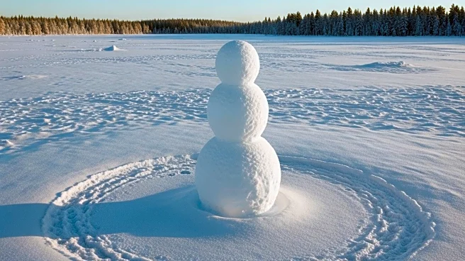
NASA's Landsat 8 satellite has captured an image of a unique natural formation resembling a colossal snowman in Siberia. This formation, located near Billings on Russia's Chukchi Peninsula, is a result
of the alignment of elongated, oval lagoons. The image, taken in June 2025, showcases the dynamic interaction of land, water, ice, and wind in the Arctic region. Despite being one of the warmest times of the year, the area remains locked in ice, illustrating the persistent cold conditions. The Landsat 8 mission, operated by NASA and the U.S. Geological Survey, provides consistent and repeatable imagery crucial for monitoring environmental changes, including permafrost landscapes and coastal dynamics.
Why It's Important?
The image captured by Landsat 8 is significant as it provides insights into the Arctic's environmental dynamics, particularly the persistence of ice in mid-June. This information is vital for understanding the impacts of climate change on Arctic ecosystems, coastal erosion, and human activities. The ability of Landsat 8 to provide detailed and consistent imagery over time allows researchers to track changes in the environment, contributing to a better understanding of global climate trends. The colossal snowman formation serves as a visual representation of the scale and impact of these natural processes.
What's Next?
Continued monitoring of the Arctic region by satellites like Landsat 8 is essential for tracking environmental changes and understanding their implications. Researchers will likely use this data to study the effects of climate change on Arctic ecosystems and to develop strategies for mitigating its impacts. The information gathered can inform policy decisions and conservation efforts aimed at preserving the fragile Arctic environment.
Beyond the Headlines
The formation of the colossal snowman highlights the importance of Earth-observing satellites in capturing and understanding complex environmental processes. The ability to monitor such formations provides valuable data for scientists studying permafrost landscapes and coastal dynamics. This underscores the need for continued investment in satellite technology to enhance our understanding of the Earth's changing environment.