


What's Happening?
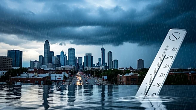
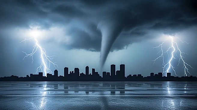
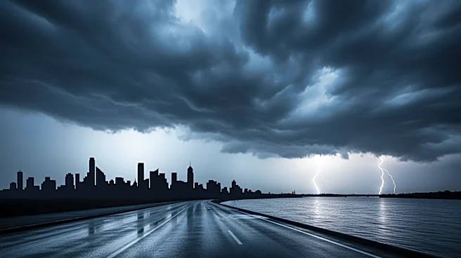
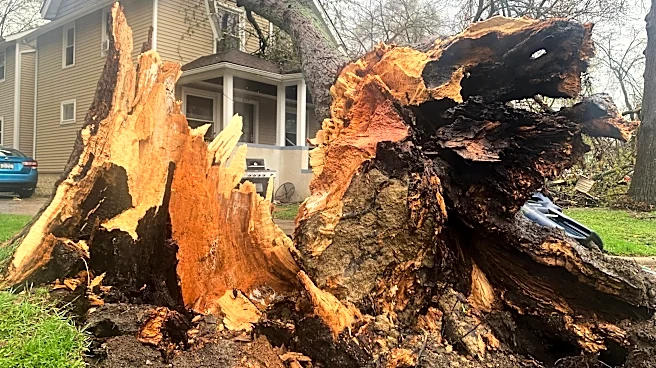
The National Weather Service has issued a tornado watch for Chicago and Cook County, Illinois, effective until 11 p.m. on April 17. The region is experiencing unseasonably warm temperatures, reaching into the low 80s, which is significantly higher than
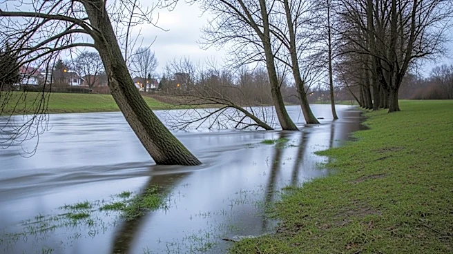
the average mid-April highs of around 60 degrees. The warm weather is expected to give way to severe thunderstorms in the evening, bringing the potential for large hail, damaging winds, and spin-up tornadoes. The storms are anticipated to drop temperatures into the low 50s by Saturday. Additionally, the Des Plaines River is at risk of flooding due to the heavy rainfall, with water levels expected to crest over the weekend.
Why It's Important?
The severe weather conditions pose significant risks to public safety and infrastructure in the Chicago area. The potential for tornadoes and flooding could lead to property damage, power outages, and disruptions to daily life. Residents are advised to stay informed and have emergency plans in place. The situation highlights the importance of preparedness and effective communication from local authorities to mitigate the impact of natural disasters. The economic implications could be substantial, affecting businesses, transportation, and emergency services.
What's Next?
Residents should monitor weather updates and heed warnings from local authorities. The National Weather Service will continue to provide forecasts and alerts as the situation develops. Emergency management teams are likely to be on standby to respond to any incidents resulting from the severe weather. The potential flooding of the Des Plaines River will be closely monitored, and residents in flood-prone areas should be prepared to evacuate if necessary. The aftermath of the storms may require cleanup and recovery efforts, with possible assistance from state and federal agencies.