






What's Happening?
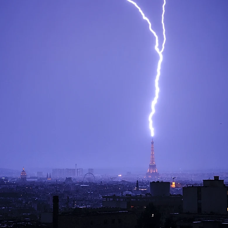
Rochester, Minnesota, is preparing for a significant weather event this weekend, characterized by extreme heat and potential severe thunderstorms. A Severe Thunderstorm Watch is in effect until 2 AM, with the possibility of damaging winds reaching up
to 60 mph and hail measuring one inch in diameter. The warmest and most humid air mass of the season is settling in ahead of a cold front, leading to a warm and muggy night. Overnight temperatures are expected to remain in the low 70s, accompanied by a light southwest breeze. The threat of isolated thunderstorms will persist until just before sunrise, although the activity is anticipated to weaken as it moves into southeast Minnesota and northeast Iowa.
Why It's Important?
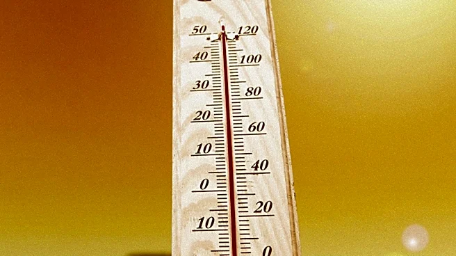
The extreme weather conditions forecasted for Rochester could have significant implications for the local community. The combination of high temperatures and severe storms poses risks to public safety, potentially leading to power outages, property damage, and disruptions to daily life. The heat index values are expected to reach dangerous levels, between 100 and 110, which could impact vulnerable populations, including the elderly and those with pre-existing health conditions. Additionally, the severe weather could affect local businesses and infrastructure, necessitating preparedness measures to mitigate potential damage.
What's Next?
Following the severe weather event, temperatures are expected to cool to more seasonal levels for the next week or two. The upcoming week is forecasted to be sunny and seasonably warm, with high temperatures in the mid-80s each day. A few stray thunderstorms are possible later in the week, particularly on Thursday evening and Friday. Residents are advised to stay informed about weather updates and take necessary precautions to ensure safety during the extreme heat and potential storms.