





What's Happening?
Maine is preparing for a significant weather change, transitioning from mild conditions to winter-like temperatures within a few days. Following Wednesday's clearing of rain, clouds, and fog, the state will see partly sunny and mild weather. However,
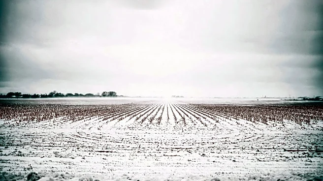
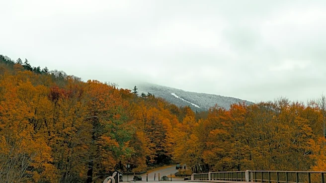
a new weather system is expected to bring cold rain by Friday and Saturday. This system will usher in the coldest airmass of the season so far, with high temperatures on Saturday projected to be in the mid-to-upper 40s. The mountains and northern Maine are anticipated to experience wintry weather, including snow and mixed precipitation, with a trace of snow expected and higher amounts at higher elevations. Gusty northwest winds, reaching up to 40 MPH, will contribute to wind chill temperatures feeling like the 20s to 30s on Saturday. Sunday is forecast to be calmer with temperatures returning to the low 50s, and the early part of next week could see temperatures in the 60s.
Why It's Important?
This rapid shift in weather conditions in Maine is important for several reasons. For residents, the sudden drop in temperatures and the arrival of wintry weather, including snow and strong winds, necessitate immediate preparations for colder conditions. This could impact daily commutes, outdoor activities, and energy consumption as heating demands increase. Businesses, particularly those in agriculture, tourism, and outdoor recreation, may need to adjust operations. The cold rain and potential for snow could affect road conditions, leading to travel advisories and increased risk of accidents. Furthermore, the significant wind chill factors pose health risks for individuals exposed to the elements, highlighting the importance of adequate cold weather gear. The fluctuation from mild to severe weather in a short period also underscores the dynamic nature of regional climate patterns and the need for effective weather forecasting and public communication.
What's Next?
Residents in Maine should prepare for the impending cold rain, snow, and strong winds. This includes securing outdoor items, preparing vehicles for winter driving conditions, and ensuring homes are adequately heated. The forecast indicates that the coldest airmass of the season will settle in by Saturday, bringing with it gusty northwest winds and significantly lower 'feel-like' temperatures. While Sunday is expected to be calmer with slightly higher temperatures, the immediate focus will be on navigating the challenging conditions on Friday and Saturday. Emergency services and local authorities will likely monitor road conditions and issue advisories as needed. Businesses reliant on outdoor activities or transportation will need to adjust their schedules and operations accordingly. The return to milder temperatures in the low 50s on Sunday and 60s early next week suggests a temporary reprieve, but the initial cold snap will require immediate attention.
Beyond the Headlines
The swift transition from mild to winter-like weather in Maine highlights broader implications concerning climate variability and its impact on local communities. Such rapid and extreme shifts can strain infrastructure, particularly power grids and transportation networks, which may not be consistently prepared for sudden changes. For vulnerable populations, including the elderly and low-income households, the sudden drop in temperatures and increased heating costs can pose significant challenges. This event also underscores the importance of robust public warning systems and community preparedness initiatives. From an environmental perspective, these fluctuations can affect local ecosystems, potentially impacting wildlife and agricultural cycles. The need for adaptable infrastructure and community resilience strategies becomes more apparent as regions experience increasingly unpredictable weather patterns, prompting discussions on long-term climate adaptation and mitigation efforts.