




What's Happening?
New England is anticipating a week of cool, cloudy weather, with temperatures expected to remain in the low 60s. A cool bubble of high pressure is settling across the region, leading to onshore winds and persistent cloud cover. Rain totals over the past
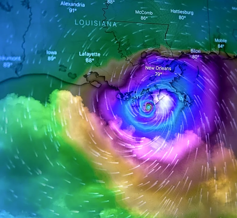
weekend were generally under a quarter of an inch for much of eastern Massachusetts, with central Massachusetts seeing up to half an inch. The week begins with damp and dreary conditions and areas of drizzle, though some improvement is expected later in the day. Forecasters are closely monitoring a deepening low-pressure system that is projected to develop into a multi-day nor'easter offshore later in the week. This storm is expected to bring strong winds, heavy rain, and potential coastal flooding, exacerbated by a full moon by the end of the week, which could heighten the risk of moderate to major flooding along the coast. Small fluctuations in the storm's path and intensity are the primary focus for meteorologists.
Why It's Important?
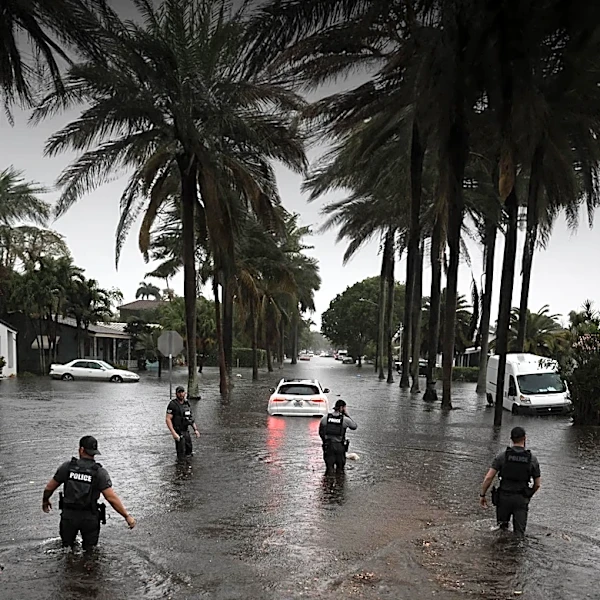
The impending weather conditions, particularly the potential nor'easter, carry significant implications for New England residents and infrastructure. Strong winds and heavy rainfall could lead to power outages, disrupt transportation, and pose risks to property. Coastal communities are especially vulnerable to the threat of moderate to major flooding, which could result in property damage, displacement, and economic losses for businesses reliant on coastal activities. The persistent cool and damp weather could also impact agricultural activities and outdoor industries. For emergency services and local governments, preparation for such a storm is crucial to ensure public safety and minimize disruption. The forecast highlights the region's susceptibility to severe weather events and the ongoing need for robust infrastructure and emergency response planning to mitigate their effects.
What's Next?
Residents across New England should prepare for continued cool and cloudy conditions throughout the week. The primary focus will be on tracking the developing low-pressure system and its potential evolution into a nor'easter. Meteorologists will be closely monitoring small fluctuations in the storm's path and intensity, providing updated forecasts as more information becomes available. Coastal communities, in particular, should stay informed about flood warnings and advisories, especially with the full moon approaching, which will amplify tidal ranges. Emergency management agencies will likely issue preparedness guidelines, and residents may need to secure outdoor items, prepare for potential power outages, and adjust travel plans. Businesses in affected areas may need to implement contingency plans to safeguard operations and employees.
Beyond the Headlines
The recurring threat of severe weather events like nor'easters in New England underscores broader discussions about climate resilience and infrastructure investment. As climate patterns shift, the frequency and intensity of such storms could increase, placing greater strain on coastal defenses, drainage systems, and power grids. This situation highlights the ongoing challenge for regional planners and policymakers to develop long-term strategies for adapting to environmental changes. Furthermore, the economic impact of these events, from property damage to business interruptions, can be substantial, prompting questions about insurance coverage, disaster relief funding, and the sustainability of coastal development. The community's response to and recovery from such events also reflect the strength of local preparedness and mutual aid networks.