


What's Happening?
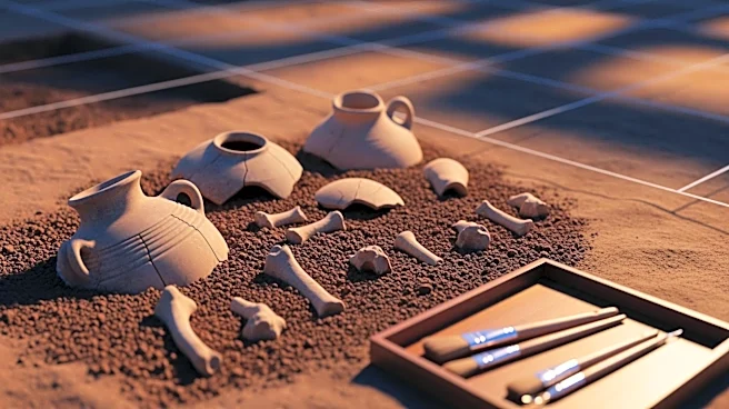
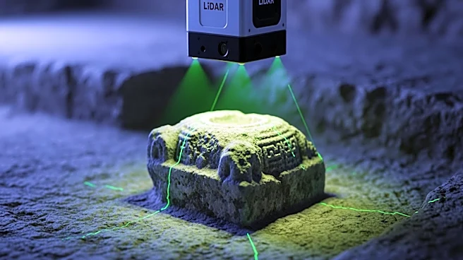
A new study has demonstrated the use of a portable LiDAR-camera mapping system to dynamically document archaeological excavations, specifically at the Wuwangdun tomb site. This system allows for rapid spatial data acquisition and the creation of detailed
3D models of excavation sites. The process involves several stages, including data collection, scene reconstruction, and dynamic object removal, which are crucial for maintaining the integrity of archaeological documentation. The system's ability to capture high-resolution images and align them with LiDAR data ensures accurate and comprehensive records of excavation progress.
Why It's Important?
The implementation of this LiDAR-camera system represents a significant advancement in archaeological documentation, offering a more efficient and precise method for recording excavation sites. This technology can greatly enhance the preservation of historical data, providing researchers with detailed and accurate models that can be used for further analysis and study. The ability to dynamically document excavations in real-time can also improve the management and protection of archaeological sites, ensuring that valuable historical information is not lost during the excavation process.
What's Next?
The success of this system at the Wuwangdun site may lead to its adoption in other archaeological projects, potentially setting a new standard for excavation documentation. Researchers and archaeologists may explore further enhancements to the system, such as integrating additional sensors or improving data processing algorithms, to increase its capabilities. The broader application of this technology could also foster collaborations between archaeologists and technology developers, driving innovation in the field of archaeological research.