
What's Happening?
A groundbreaking study has revealed a detailed map of the terrain beneath Antarctica's ice sheet, providing new insights into the continent's geological history and its response to climate change. The
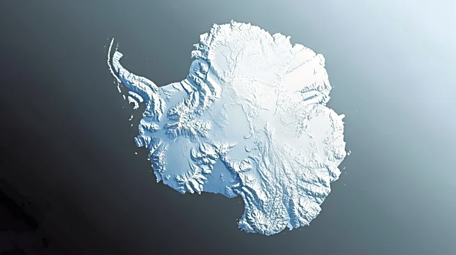
study, published in Science, highlights the use of satellite data and physics to map a subglacial landscape of mountains, canyons, and hills. This new map is expected to aid climate scientists in understanding glacier movements as the ice continues to melt. The research team employed high-resolution satellite imagery and Ice Flow Perturbation Analysis (IFPA) to trace the landscape by studying ice movements. The map documents 71,997 hills and a 248.5-mile valley within the Maud Subglacial Basin, revealing tectonic boundaries and dynamic geological processes.
Why It's Important?
The newly unveiled map of Antarctica's subsurface terrain is crucial for predicting the future of the continent and its impact on global sea levels. As the Antarctic ice sheet melts, understanding the underlying topography will help scientists forecast glacier movements and their contribution to sea-level rise. This research addresses significant uncertainties about the speed of ice disappearance, which is a major concern in the context of climate change. The map fills critical gaps in knowledge, offering a 'really useful product' for climate scientists, as it provides a clearer picture of how the ice sheet's underlying terrain influences glacier dynamics.
What's Next?
With the new map, scientists can refine their models to predict how quickly Antarctic ice will contribute to global sea-level rise. This information is vital for policymakers and environmental planners as they develop strategies to mitigate the impacts of climate change. The study's findings may prompt further research into the geological processes beneath Antarctica and their influence on ice dynamics. Additionally, the map could lead to more targeted scientific expeditions to explore the newly discovered features and validate the satellite data.
Beyond the Headlines
The study's revelations about Antarctica's hidden terrain could have broader implications for understanding Earth's geological history and the processes that shape polar regions. The discovery of tectonic boundaries and dynamic geological features beneath the ice may offer insights into past climate conditions and help predict future changes. This research underscores the importance of international collaboration in scientific exploration and the need for continued investment in satellite technology and data analysis to uncover the mysteries of remote and inaccessible regions.