
What's Happening?
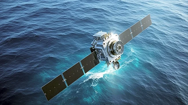
NASA, in collaboration with the French space agency CNES, has developed one of the most detailed maps of Earth's seafloors using data from the Surface Water and Ocean Topography (SWOT) satellite. This
initiative aims to fill the gaps left by traditional ship sonar mapping, which is costly and time-consuming. The SWOT satellite, operational since April 2023, uses radar interferometry to measure ocean surface heights with centimeter-level accuracy, allowing scientists to infer the topography of the seafloor. This method has revealed previously invisible underwater features such as ridges, volcanoes, and abyssal hills, which are crucial for understanding geological and oceanographic processes.
Why It's Important?
The development of these detailed seafloor maps has significant implications for various fields. For oceanography, it enhances the understanding of deep-sea currents and internal tides, which are vital for climate modeling. The maps also aid in the planning of submarine infrastructure, such as cables and pipelines, by providing safer routing options. Additionally, they support tsunami and earthquake hazard assessments and improve navigation in poorly charted regions. The maps are also beneficial for fisheries research, as they identify nutrient-rich areas that support marine life. Overall, this advancement represents a leap forward in oceanographic research and practical applications.
What's Next?
As the SWOT satellite continues its 21-day observation cycles, the resolution of the maps is expected to improve further, revealing even smaller seafloor features. Researchers plan to integrate this data with existing depth soundings using advanced statistical and machine-learning tools to enhance global bathymetric maps. This ongoing effort will continue to refine our understanding of oceanic and geological processes, potentially leading to new discoveries and applications in marine science and industry.
Beyond the Headlines
The ethical and environmental implications of this technology are noteworthy. By providing a clearer picture of the seafloor, the maps could influence international maritime policies and territorial claims. They also raise questions about the environmental impact of increased human activity in previously unexplored ocean regions. As the technology advances, it will be crucial to balance exploration with conservation efforts to protect marine ecosystems.