


What's Happening?
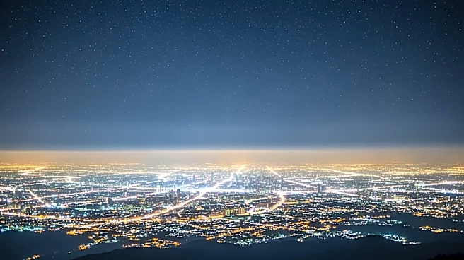
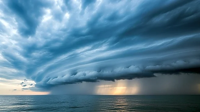
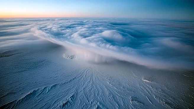
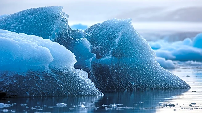
NASA has captured striking images of a rare arctic storm and unique cloud formations over Alaska. The images, taken on March 19, 2026, reveal a polar low, a compact storm system with tropical storm-force winds, located southwest of Anchorage. The storm developed
as cold polar air moved over warmer waters, generating snow and thunderstorms. Additionally, the satellite images show 'cloud streets' and von Kármán vortex streets, patterns formed by the interaction of cold air with the ocean and island terrain. These phenomena are part of a broader pattern of cold and stormy weather in Alaska.
Why It's Important?
The observation of these atmospheric phenomena provides valuable insights into weather patterns and climate dynamics in the Arctic region. Understanding these systems is crucial for improving weather forecasting and assessing the impacts of climate change. The data collected by NASA can aid in predicting future weather events and their potential effects on local communities and ecosystems. The study of polar lows and cloud formations also contributes to broader climate research, helping scientists understand the interactions between the atmosphere and the ocean.
What's Next?
As the weather patterns in Alaska continue to evolve, scientists will monitor the region for further developments. The data from this observation will be analyzed to improve climate models and forecasting techniques. Future research may focus on the long-term impacts of such storms on the Arctic environment and global climate. Continued satellite monitoring will be essential for tracking changes in weather patterns and understanding their implications for climate science.