


What's Happening?
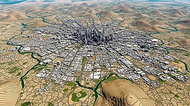
Recent satellite imagery from NASA has revealed that Mexico City is sinking at a rate of nearly 10 inches annually, making it one of the fastest-subsiding cities globally. The city, which is built on an ancient lake bed, has been experiencing subsidence
due to extensive groundwater pumping and urban development. This has led to significant damage to critical infrastructure, including the subway, drainage systems, and water supply. The subsidence is most pronounced in areas like the Benito Juarez International Airport and the Angel of Independence monument, which has required additional steps to be added to its base over the years. The shrinking aquifer has also exacerbated a chronic water crisis in the city.
Why It's Important?
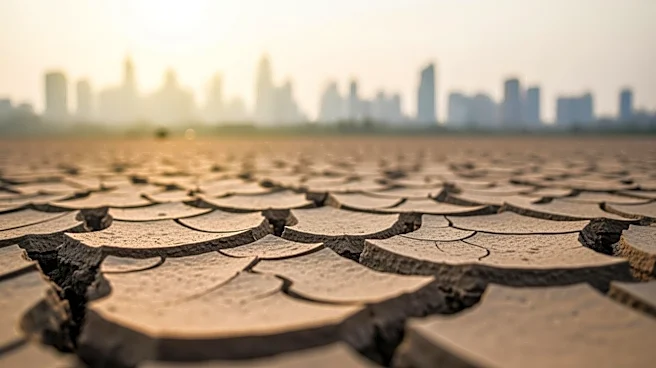
The rapid subsidence of Mexico City poses a severe threat to its infrastructure and the well-being of its 22 million residents. The damage to essential services like transportation and water supply could lead to significant economic and social challenges. The chronic water crisis, worsened by the shrinking aquifer, threatens to reach a 'day zero' scenario where taps run dry. This situation highlights the urgent need for sustainable water management and urban planning to mitigate further damage. The findings from NASA's satellite imagery provide critical data that can help inform policy decisions and infrastructure planning to address these challenges.
What's Next?
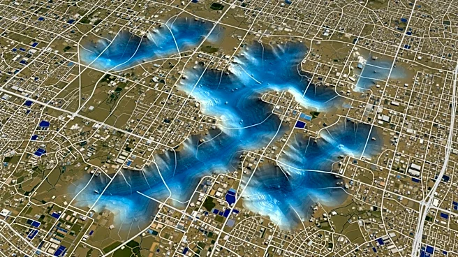
The data from NASA's NISAR satellite will be crucial for scientists and policymakers as they develop strategies to mitigate the effects of subsidence in Mexico City. There is a need for increased research funding and the implementation of sustainable water management practices to prevent further damage. The government may need to prioritize infrastructure stabilization and explore alternative water sources to address the ongoing crisis. Additionally, the technology used in this study could be applied globally to monitor other regions facing similar challenges, potentially leading to broader applications in disaster preparedness and climate change adaptation.