
What's Happening?
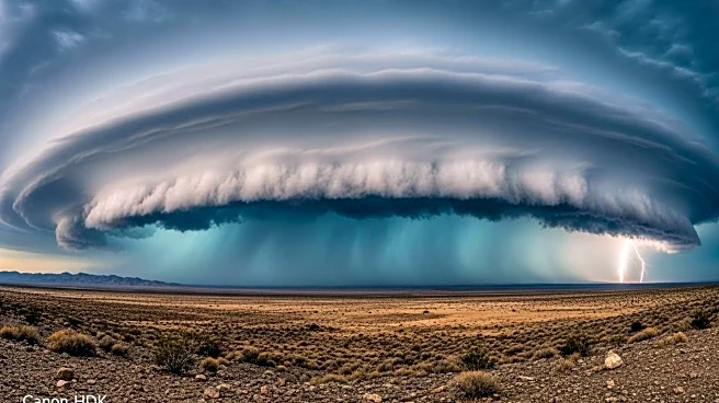
Hurricane Lorena is currently intensifying over the warm Pacific waters near the Baja California Peninsula in Mexico. As of Wednesday morning, the hurricane has reached Category 1 status with winds of 80 mph and is expected to strengthen to Category 2, with the possibility of briefly becoming a Category 3 hurricane. The storm's trajectory is uncertain, but it poses a risk of significant impacts in Mexico and potential indirect effects in the southwestern United States. AccuWeather meteorologists warn that the storm could bring heavy rainfall and dangerous flash flooding to parts of Arizona, New Mexico, and Texas if it moves inland over Mexico. A tropical storm warning is in effect for parts of Baja California Sur, with dangerous seas and surf expected along the coast.
Why It's Important?
The potential impact of Hurricane Lorena is significant for both Mexico and the southwestern United States. In Mexico, the storm could lead to life-threatening flooding and widespread power outages, particularly in areas like Cabo San Lucas and La Paz. In the United States, the storm's moisture could exacerbate existing weather systems, leading to heavy rainfall and flash flooding in Arizona, New Mexico, and Texas. This situation highlights the vulnerability of these regions to severe weather events and the importance of preparedness and response strategies to mitigate potential damage and ensure public safety.
What's Next?
The path of Hurricane Lorena will be closely monitored over the coming days to determine its potential landfall and impact areas. Residents in the affected regions are advised to stay informed and prepare for possible evacuations or emergency measures. Meteorologists will continue to provide updates on the storm's progression and potential effects, while local authorities may issue additional warnings or advisories as the situation develops.