What's Happening?
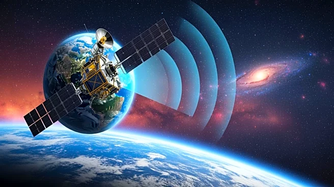
The NISAR satellite, a joint mission between NASA and ISRO, has released its first radar images of Earth's surface. Launched under President Trump, the satellite features both L- and S-band radars, providing
detailed data for various applications such as disaster response and agricultural management. The images showcase the satellite's ability to monitor land and ice surfaces, offering insights into ecosystems and crop progress.
Why It's Important?
The NISAR mission represents a significant collaboration between the United States and India, enhancing scientific understanding of Earth's dynamics. The satellite's advanced radar capabilities allow for precise monitoring of environmental changes, aiding in disaster preparedness and resource management. This partnership underscores the importance of international cooperation in advancing space technology and addressing global challenges.
What's Next?
As the NISAR mission approaches full science operations, it is expected to provide valuable data for decision-makers worldwide. The satellite's ability to monitor Earth's surfaces will contribute to ongoing research in climate change, natural disaster response, and agricultural efficiency. Continued collaboration between NASA and ISRO may lead to further advancements in space exploration and technology.


