



What's Happening?
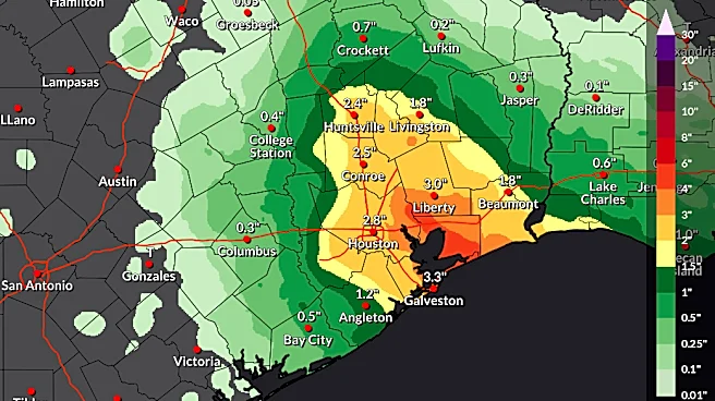
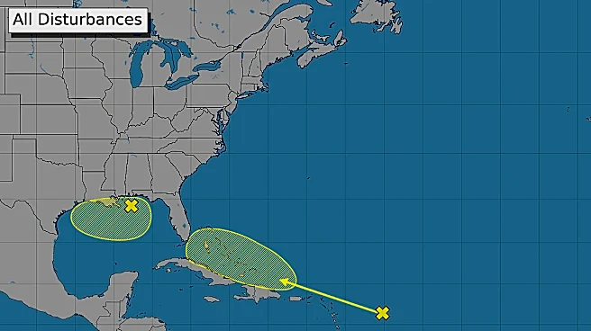
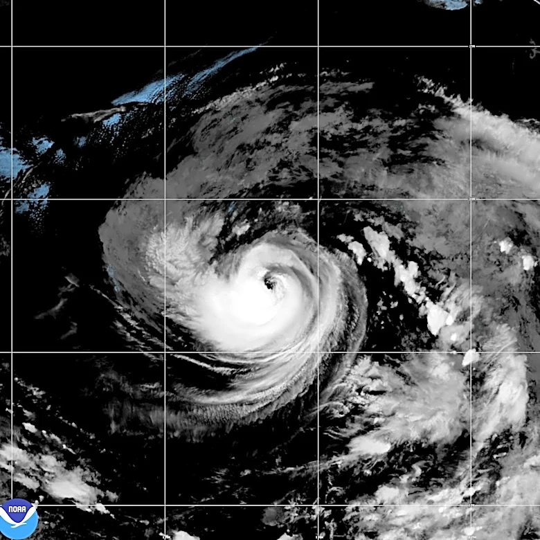
The U.S. National Hurricane Center (NHC) reports a 50% chance of a cyclone forming off the Louisiana coast within the next 48 hours. This potential system is anticipated to bring rain and gusty winds to the coastal areas, with some risk of flash flooding.
The NHC is expected to issue advisories for a tropical depression or a 'potential tropical cyclone' due to its close proximity to the shore. The NHC's protocol involves issuing watches and warnings for any tropical development near land to ensure preparedness. While the system is slowly organizing, with cooling cloud tops and an attempt at wind field organization, model intensity forecasts are not indicating a particularly strong storm. The most likely scenario is rain and gusty, but not especially dangerous, winds.
Why It's Important?
The NHC's approach to issuing advisories for potential tropical cyclones, even if they are low-end systems, triggers a cascade of actions across various levels of government and businesses. This proactive stance aims to prepare communities for the 'bad case' scenario, though it can sometimes lead to over-reactions for weaker storms. Evacuations and community shutdowns, while intended for safety, carry significant financial and social costs, including increased traffic accidents and disruptions to medical procedures. For low-end tropical storms, an over-reaction could potentially cause more harm than good. The decision-making process highlights a tension between ensuring public safety and minimizing the economic and social impact of preparedness measures, especially for vulnerable populations who rely on services like schools.
What's Next?
The National Hurricane Center is likely to begin issuing advisories for a tropical depression or a 'potential tropical cyclone' soon, possibly within hours. These advisories will initiate pre-planned emergency actions by government agencies and businesses. Local emergency managers will continue to advise residents, with their recommendations typically being conservative and aimed at the 'lowest common denominator' to ensure broad safety. Residents along the Louisiana coast should monitor official NHC updates and follow local emergency management advice, even if the storm is projected to be weak. The situation underscores the ongoing challenge of balancing preparedness with the potential for over-response to less severe weather events.
Beyond the Headlines
The handling of this potential cyclone reveals a broader discussion about risk communication and public response to weather events. The NHC's 'forecast of least regret' strategy, while ensuring warnings are issued, can sometimes lead to a perception of over-hyping by the public and media. This can desensitize communities to future warnings or lead to unnecessary disruptions. The differing perspectives between official warning agencies, emergency managers, and the public highlight the complexity of communicating nuanced weather threats. There's an inherent cost in every action, whether it's evacuating for a minor storm or underestimating a significant one, impacting lives and livelihoods, particularly for low-income families who face greater challenges during disruptions.