
What's Happening?
The global agricultural mapping services market is experiencing significant growth as the agriculture sector increasingly adopts data-driven and technology-enabled practices. These services utilize advanced
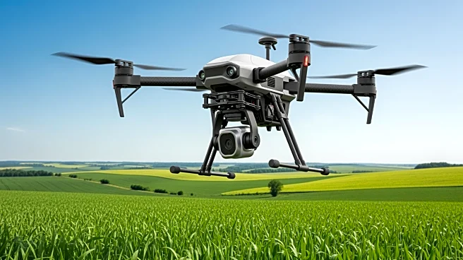
technologies such as GPS, GIS, remote sensing, and drone-based imaging to provide detailed insights into soil health, crop conditions, irrigation needs, and land productivity. This technological integration helps farmers optimize field operations, reduce input costs, and enhance overall yield efficiency. In 2024, the market was valued at approximately $6.2 billion and is projected to reach $8.7 billion by 2031, growing at a compound annual growth rate (CAGR) of 5.1%. The leading segment within this market is satellite and drone-based mapping, which offers real-time, high-resolution imagery and accurate spatial data. North America currently dominates the market due to early adoption of precision agriculture technologies and supportive government policies.
Why It's Important?
The expansion of agricultural mapping services is crucial for the advancement of precision agriculture, which aims to increase productivity while minimizing environmental impact. This growth is driven by the need for sustainable farming solutions and the integration of artificial intelligence and machine learning in geospatial analytics. These technologies enhance decision-making capabilities, allowing for efficient field monitoring and early disease detection. The increasing demand for sustainable farming practices is also boosting investment in mapping technologies globally. As a result, farmers and agribusinesses can improve operational efficiency and profitability, while government agencies can utilize these services for land reform and food security monitoring.
What's Next?
The agricultural mapping services market is poised for further growth as technology continues to advance. The integration of AI-driven analytics and predictive modeling is expected to transform the value of mapping data, enabling proactive decision-making in crop planning and risk mitigation. Additionally, the expansion of drone-as-a-service models and cloud computing is making precision agriculture more accessible to small-scale farmers. As global emphasis on sustainability and carbon reduction increases, mapping services that help quantify and verify sustainable farming practices will see growing demand. Emerging economies in Asia, Africa, and Latin America present untapped potential as agricultural modernization and government-backed digitalization initiatives continue to expand.
Beyond the Headlines
The agricultural mapping services market faces challenges such as the high cost of advanced mapping equipment and data processing software, which can limit adoption among small and medium-sized farms. Additionally, the lack of standardized data formats and interoperability between different mapping systems complicates data integration. Concerns regarding data privacy and ownership also persist, especially as mapping data often involves sensitive information about land use and productivity. Despite these challenges, the market presents significant opportunities as technology continues to advance, particularly with the emergence of AI-driven analytics and blockchain technology for supply chain transparency.