



What's Happening?
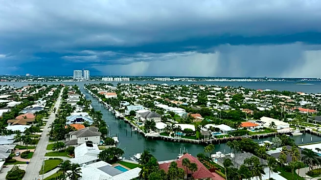
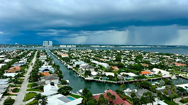
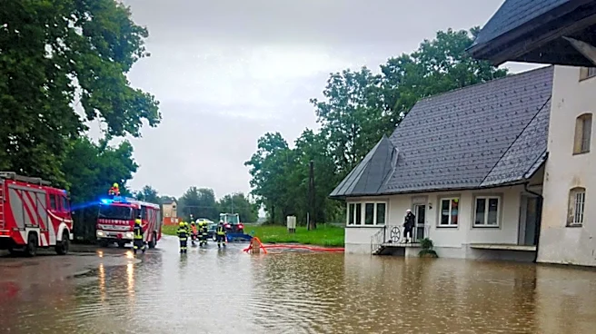
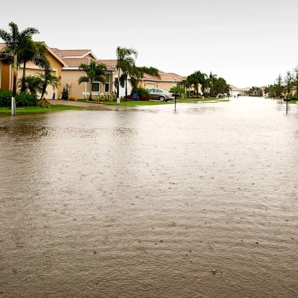
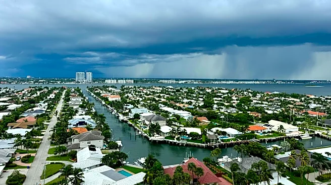
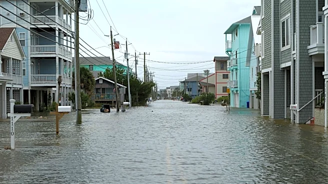
Central Florida is experiencing severe flooding due to a second consecutive day of constant heavy rainfall, with parts of Brevard, Orange, and Volusia counties particularly affected. The National Weather Service in Melbourne has issued multiple flash
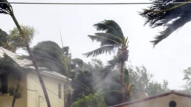
flood warnings, as some areas have already received 6-10 inches of rain, with an additional 2-4 inches possible. Rainfall totals over 24 hours topped 12 inches at Melbourne International Airport. The St. Johns River near Cocoa has surpassed its 1953 record, reaching 18.11 inches, and is forecast to continue rising, leading to major flooding. Florida Governor Ron DeSantis announced the mobilization of hundreds of support personnel, including the Florida National Guard, and pre-staged over 6,000 feet of flood control devices. A low-pressure system off Florida's east coast has a 60% chance of developing into a tropical or subtropical storm, which could further exacerbate conditions with dangerous surf and coastal erosion.
Why It's Important?
The ongoing severe flooding in Central Florida poses immediate and significant threats to residents, infrastructure, and local economies. The declaration of a state of emergency in Brevard County, along with school and government office closures, highlights the widespread disruption. The record-breaking levels of the St. Johns River indicate a major flood event with potentially long-term consequences, as floodwaters could persist for months, impacting homes and businesses. The mobilization of state resources underscores the gravity of the situation and the need for extensive emergency response. The potential development of a tropical or subtropical storm adds another layer of risk, threatening to prolong and intensify the hazardous conditions, including coastal flooding and erosion, which could have lasting environmental and economic impacts on the region's tourism and coastal communities.
What's Next?
Heavy rainfall is expected to continue throughout the day and for the rest of the week, with a medium chance of an additional 3 to 6 inches of rain and a 10% chance of 8 to 10 inches along the coast. This could lead to 'impactful' flash flooding. The St. Johns River is forecast to continue rising, with major flooding expected to necessitate water rescues in areas like Astor, where homes could experience 1-2 feet of water. The low-pressure system off the coast will be closely monitored for development into a tropical or subtropical storm, which would bring further hazards. Residents are urged to heed warnings, avoid flooded roads, and seek shelter. State and local emergency services will remain deployed to assist affected communities and manage the ongoing flood crisis.
Beyond the Headlines
The current flooding in Central Florida, particularly the record-breaking St. Johns River levels, points to a critical vulnerability in the region's water management and urban planning. The slow drainage of the St. Johns River system means that even after the rain subsides, communities could face prolonged inundation, leading to extended displacement and recovery efforts. This event, following major flooding from Hurricanes Ian and Irma in recent years, suggests a pattern of increasing flood frequency and severity, challenging existing infrastructure and emergency protocols. The potential for a named storm to emerge from the current system further highlights the evolving nature of hurricane seasons and the need for enhanced long-term resilience strategies, including updated building codes, improved drainage systems, and comprehensive climate adaptation plans for Florida's rapidly growing population and vital economic sectors.