



What's Happening?
South Central Wisconsin is experiencing a stretch of pleasant weather with mostly sunny skies and temperatures reaching the mid-80s. This weather pattern is expected to continue through the middle of the week, providing ideal conditions for outdoor activities.
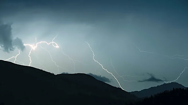
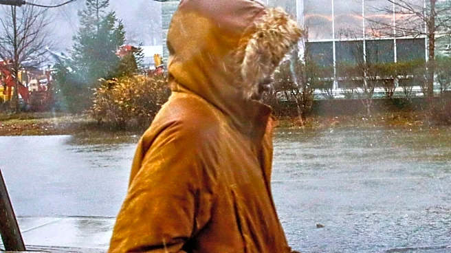
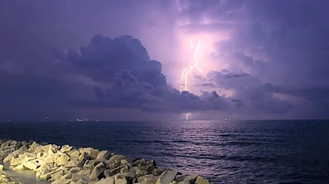
However, a shift in the weather is anticipated as clouds increase towards the end of the week, bringing chances of scattered showers and thunderstorms starting Friday. Temperatures are expected to cool slightly, with highs in the mid-70s over the weekend. The region will see a mix of sunshine and rain, with conditions improving by Sunday.
Why It's Important?
The current weather conditions offer a respite from extreme weather, allowing residents to enjoy outdoor activities and events. However, the forecasted rain and thunderstorms could impact weekend plans and outdoor events. The shift in weather patterns serves as a reminder of the region's variable climate and the need for preparedness for sudden changes. The anticipated rain could benefit local agriculture by providing much-needed moisture, but it also poses a risk of localized flooding in areas with poor drainage.
What's Next?
Residents should prepare for the upcoming rain and potential thunderstorms by securing outdoor items and planning indoor activities for the weekend. Local authorities may issue weather advisories or warnings if severe weather conditions develop. As the weather system moves through the region, meteorologists will continue to monitor and update forecasts to provide accurate information to the public. The return of sunny conditions by early next week will allow for a quick recovery from any disruptions caused by the rain.