


What's Happening?
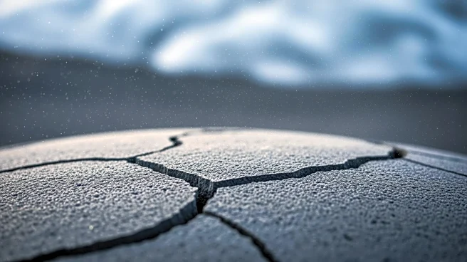
A magnitude 3.7 earthquake was recorded near Torfajökull, Iceland, at 11:48 local time, as reported by the Icelandic Meteorological Office. The earthquake's epicenter was located at a depth of 1.3 kilometers, which is relatively shallow. This seismic
event is part of a series of similar occurrences in the region, with 15 earthquakes of magnitude 3 or greater recorded since 2000. The last earthquake of this magnitude in the area occurred in 2018. Torfajökull is situated in Iceland's central highlands, an area known for its geothermal activity and volcanic systems. The region is also near Landmannalaugar, a popular hiking destination. No damage or disruptions have been reported following the earthquake.
Why It's Important?
The occurrence of earthquakes in the Torfajökull area highlights the ongoing seismic activity in Iceland, a country known for its volcanic and geothermal features. While the recent earthquake did not cause damage, it underscores the importance of monitoring seismic activity in regions with active geological features. Such monitoring is crucial for public safety and for maintaining the integrity of infrastructure in areas prone to seismic events. The data collected from these events can also contribute to scientific understanding of volcanic and geothermal systems, which is vital for predicting future activity and mitigating potential risks.
What's Next?
Continued monitoring of the Torfajökull area by the Icelandic Meteorological Office is expected, as seismic activity is a regular occurrence in this region. Authorities may issue updates or alerts if further significant seismic events are detected. The data from this earthquake will likely be analyzed to assess any changes in the region's geological activity. Additionally, the information could be used to inform safety protocols for residents and tourists visiting the area, particularly during the summer months when hiking in Landmannalaugar is popular.