


What's Happening?
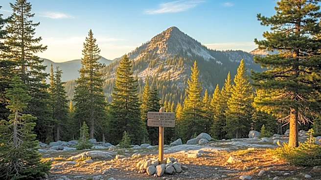
The geographic center of Arizona has been identified as lying within the Mazatzal Wilderness, north of the Phoenix metro area, near the confluence of the Verde and East Verde rivers. This location is approximately 55 miles east-southeast of Prescott.
While Camp Verde is often cited as the closest municipality to this central point, the actual center is marked by coordinates 34°16'31.1"N, 111°39'36.8"W. A plaque in Rezzonico Park, Camp Verde, acknowledges this distinction, although it clarifies that the true center is located in a more remote area. The identification of this center was part of the Arizona Professional Land Surveyors Association's efforts during the state's centennial celebrations in 2012.
Why It's Important?
Identifying the geographic center of Arizona holds cultural and historical significance, offering a point of interest for residents and tourists alike. It highlights the diverse geography of the state, which includes desert highways, red rock canyons, and high-altitude forests. This information can enhance local tourism by drawing visitors to explore less-traveled areas of the state, potentially boosting local economies. Additionally, it serves as a reminder of Arizona's vast and varied landscape, which plays a crucial role in the state's identity and appeal.