


What's Happening?
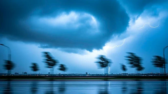
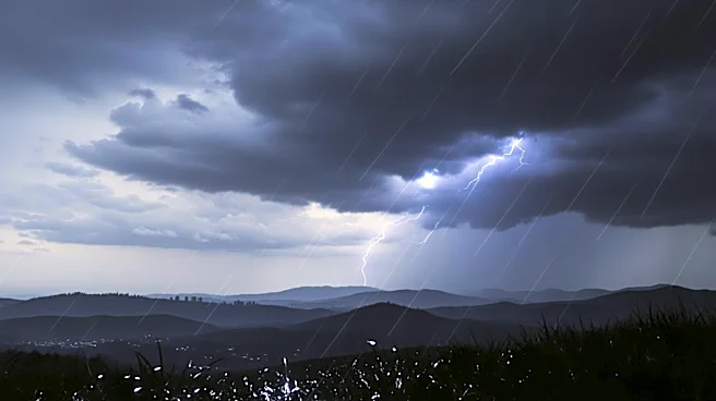
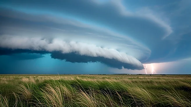
The Bay Area is experiencing wet weather conditions with the possibility of thunderstorms, as reported in the Tuesday morning First Alert weather forecast by Jessica Burch. The forecast indicates that the region will see significant rainfall throughout
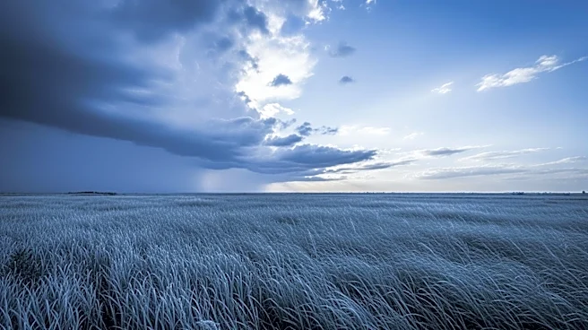
the day, which may include thunderstorm activity. However, a drying trend is anticipated to begin later in the week, providing some relief from the wet conditions. This weather pattern is part of a broader system affecting the area, bringing moisture and instability that could lead to stormy weather.
Why It's Important?
The wet weather and potential thunderstorms in the Bay Area are significant due to their impact on daily life and infrastructure. Rain and storms can lead to hazardous driving conditions, potential flooding, and disruptions in public transportation. Residents and businesses may need to prepare for possible power outages and water-related damage. The drying trend expected later in the week is crucial for mitigating these risks and allowing for recovery and maintenance activities. Understanding these weather patterns helps local authorities and residents plan and respond effectively to minimize adverse effects.
What's Next?
As the wet weather continues, residents should stay informed through local news and weather updates to ensure safety and preparedness. The anticipated drying trend later in the week will be closely monitored to confirm its onset and duration. Local authorities may issue advisories or warnings if conditions worsen, and residents should be prepared for potential emergency measures. The transition to drier weather will also allow for assessment and repair of any damage caused by the storms.