




What's Happening?
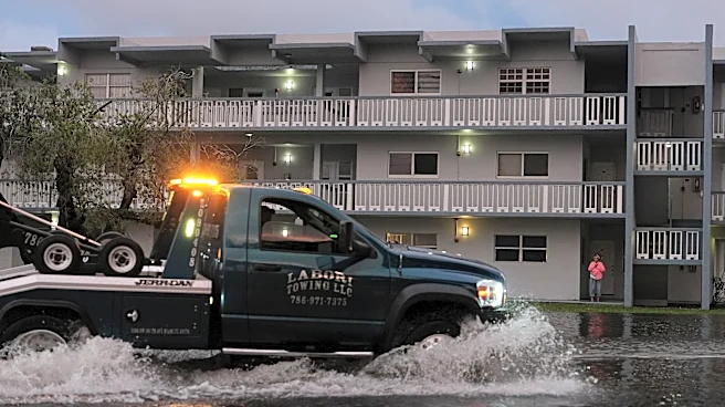
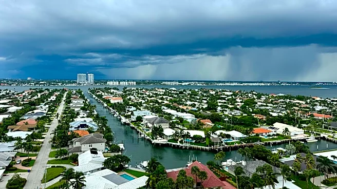
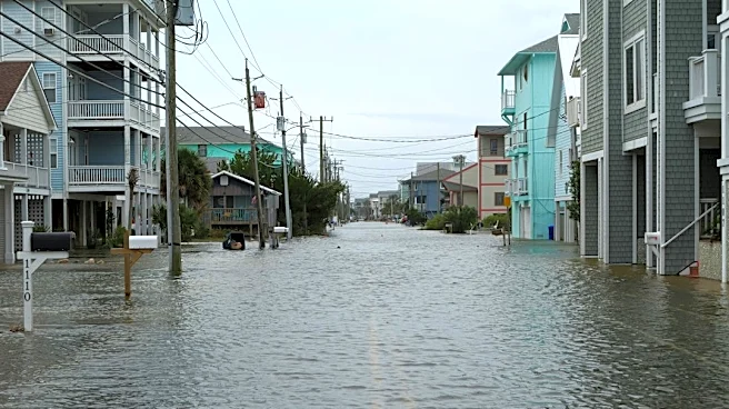
Central Florida is currently experiencing severe weather conditions, with torrential rains leading to widespread flash flood warnings across multiple counties. The FOX 35 Storm Team reports that a potent weather system is expected to dump up to 20 inches
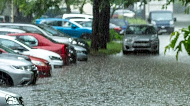
of rain in some areas, particularly in coastal and eastern counties like Brevard, Volusia, eastern Orange, and eastern Osceola. The heaviest rainfall is anticipated from Wednesday night through Thursday, with multiple rounds of intense precipitation and wind gusts up to 50 miles per hour. A flood watch is in effect for several Central Florida counties, including Brevard, Indian River, Orange, Osceola, Seminole, and Volusia, through Friday. Local emergency management officials are urging residents to avoid driving through flooded roadways and secure outdoor items. Additionally, there is a possibility that this system could develop into a named tropical or subtropical storm, potentially named Kyle, off the U.S. East Coast by the weekend, bringing rough surf and beach erosion.
Why It's Important?
This severe weather event poses significant risks to public safety and infrastructure across Central Florida. The potential for widespread flash flooding can lead to road closures, property damage, and disruptions to daily life for thousands of residents and tourists. The high volume of anticipated rainfall, especially in areas already saturated from previous weather events, increases the likelihood of rapid water rises creeping into neighborhoods and homes. The possible development of a tropical storm adds another layer of concern, as it could prolong hazardous conditions and exacerbate coastal impacts such as beach erosion and gusty winds. This situation highlights the vulnerability of Florida's coastal communities to extreme weather events and the importance of robust emergency preparedness and response mechanisms. The economic impact could be substantial, affecting local businesses, tourism, and requiring significant resources for recovery and repair.
What's Next?
Central Florida residents should anticipate continued heavy rainfall and a high risk of flash flooding through Friday, with Thursday expected to be the peak of the severe weather. Emergency management officials will continue to monitor the situation closely and issue updated advisories and warnings. Residents are advised to stay informed through local weather updates, adhere to any evacuation orders, and avoid flooded areas. As the weather system moves off the Florida East Coast over the weekend, attention will shift to its potential development into a tropical or subtropical storm. Coastal communities will need to monitor the system's track closely, as its proximity to the coast will determine the severity of weekend impacts, including rough surf and beach erosion. Authorities will likely continue to provide guidance on safety measures and potential further actions as the situation evolves.
Beyond the Headlines
The recurring nature of severe weather events in Florida, including heavy rainfall and potential tropical storm development, underscores broader challenges related to climate patterns and urban development. The vulnerability of Central Florida, a densely populated region with significant tourism infrastructure, to such events raises questions about long-term resilience strategies. This situation may prompt further discussions on urban planning, drainage infrastructure improvements, and coastal protection measures to mitigate future risks. The economic implications extend beyond immediate damage, potentially influencing insurance markets, property values, and the long-term sustainability of coastal communities. Furthermore, the event highlights the critical role of accurate weather forecasting and effective public communication in ensuring community safety and preparedness in the face of escalating climate-related challenges.