

What's Happening?
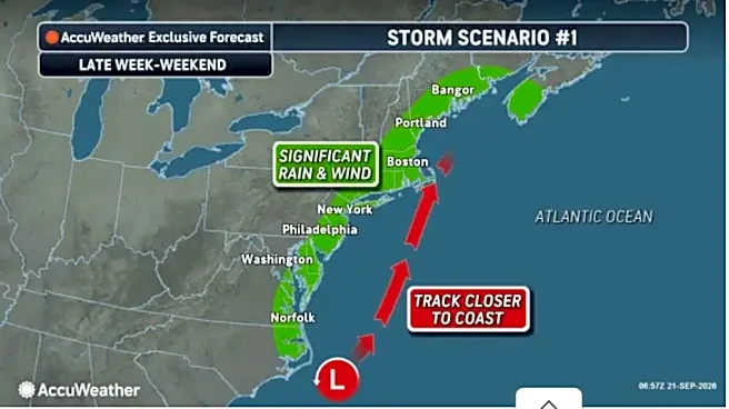
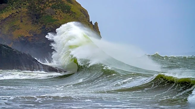
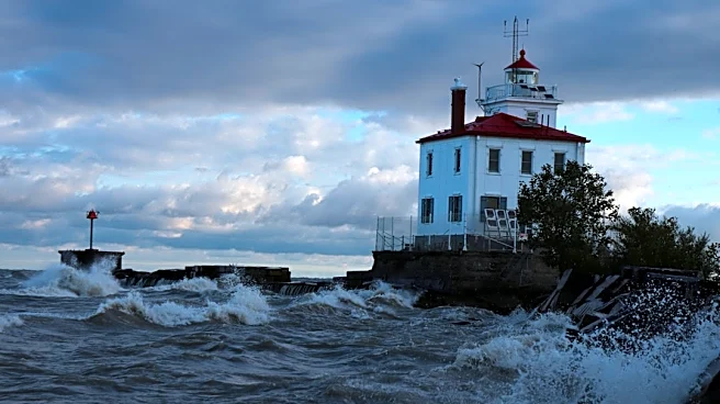
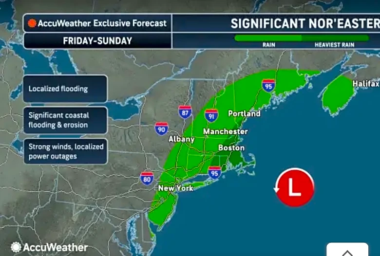
The National Weather Service is closely monitoring a potential nor'easter developing in the Atlantic Ocean that could impact the Maine coast this weekend. While the exact severity of the storm's impact on the mainland remains uncertain, turbulent seas
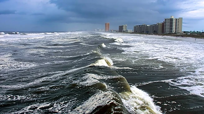
are anticipated offshore. Jon Palmer, a meteorologist at the weather service's Gray office, indicated that the nor'easter is expected to form off the mid-Atlantic coast. However, a high-pressure system currently over Quebec could potentially block the storm from reaching the Maine coast. The weather service is currently assessing whether the nor'easter will have sufficient strength to overcome this high-pressure system and take a more northerly track towards Maine. As of Tuesday, warnings include potential high wind gusts, surf, and an increased risk of rip currents, with rain dependent on the storm's final trajectory. Mariners are advised to prepare for deteriorating conditions at sea, potentially starting as early as late Wednesday or early Thursday in the Northeast, and worsening through Friday and Saturday. Offshore seas could reach 8 to 12 feet with gale-force winds.
Why It's Important?
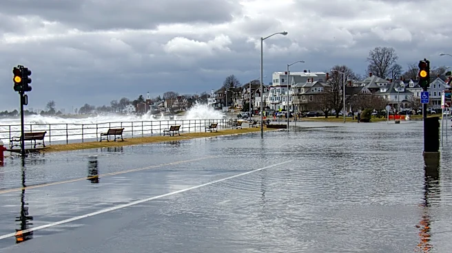
This developing weather situation is important for Maine's coastal communities and maritime industries. The potential for a nor'easter brings risks of hazardous marine conditions, which could disrupt shipping, fishing, and recreational boating activities. Commercial fishermen and other mariners face significant safety concerns due to anticipated high seas and strong winds, potentially leading to economic losses from delayed or canceled operations. Coastal infrastructure could also be at risk from increased surf and potential flooding, depending on the storm's intensity and track. The uncertainty surrounding the storm's path and strength highlights the challenges in weather forecasting and the need for continuous monitoring and preparedness. Local businesses reliant on tourism and outdoor activities could also experience disruptions, impacting the regional economy. The situation underscores the vulnerability of coastal regions to severe weather events and the importance of timely and accurate weather advisories for public safety and economic stability.
What's Next?
Mariners are advised to secure their vessels early, plan for adverse conditions, and continuously monitor weather updates as forecasters refine the storm's trajectory. The National Weather Service will continue to track the nor'easter's development and provide updated advisories. The key factor will be whether the high-pressure system over Quebec will successfully block the storm or if the nor'easter will gain enough strength to push through. Residents in coastal Maine should stay informed about local weather alerts and be prepared for potential impacts, including high winds, surf, and possible rain. Emergency services and local authorities will likely be on standby to respond to any severe weather-related incidents. The coming days will be crucial for determining the exact path and intensity of the storm, allowing for more specific preparations and warnings to be issued to the public and maritime community.
Beyond the Headlines
The potential nor'easter highlights broader implications regarding climate patterns and their impact on coastal regions. While a single weather event cannot be directly attributed to long-term climate change, the increasing frequency and intensity of extreme weather phenomena are subjects of ongoing scientific study. For Maine, a state with extensive coastline and a significant maritime economy, understanding and adapting to such weather events is crucial for long-term resilience. This situation also underscores the critical role of meteorological services in providing early warnings, which are vital for public safety and economic planning. The interaction between high-pressure systems and developing storms, as described by meteorologists, illustrates the complex dynamics of atmospheric conditions. Furthermore, the event could prompt discussions on coastal protection measures and infrastructure resilience in the face of potentially more volatile weather patterns in the future.