



What's Happening?
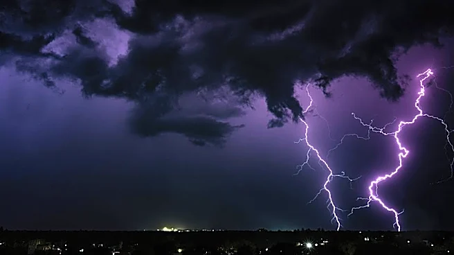
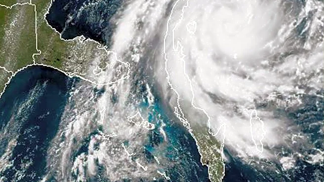
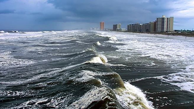
Central Florida is anticipating a wet Labor Day weekend, characterized by hot and humid conditions with afternoon storms. Showers are expected to begin west of Orlando after lunchtime and track eastward, bringing heavier rainfall, gusty winds, and frequent
lightning, particularly along the I-95 corridor. While the morning hours are predicted to be mostly dry, residents and visitors should prepare for disruptive weather in the afternoons. The WESH 2 First Warning Weather team is monitoring the situation, advising the public to stay updated through their online platforms and news app for the most accurate forecasts and alerts. No active warnings were in effect as of the latest update, though a severe thunderstorm warning and a tornado warning for Brevard County had recently expired.
Why It's Important?
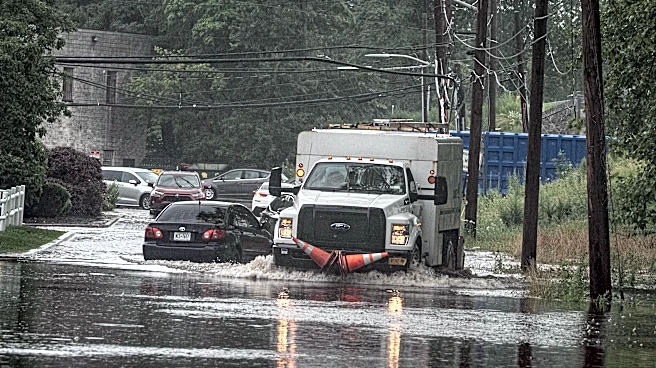
This weather pattern is significant for Central Florida as it could disrupt Labor Day weekend plans, impacting travel and outdoor activities for both residents and tourists. The potential for gusty winds and frequent lightning poses safety risks, necessitating caution for anyone outdoors. Businesses reliant on tourism and outdoor recreation may experience reduced activity due to the inclement weather. Furthermore, the consistent afternoon storm activity can lead to localized flooding, affecting transportation infrastructure and potentially causing minor property damage. The emphasis on staying informed through weather alerts highlights the importance of preparedness for such predictable yet impactful weather events during a holiday period.
What's Next?
Residents and visitors in Central Florida should continue to monitor weather updates throughout the Labor Day weekend. The WESH 2 First Warning Weather team will provide ongoing forecasts, with particular attention to the timing and intensity of afternoon storms. Individuals planning outdoor activities or travel should factor in potential delays and seek shelter when thunderstorms are present. The focus will remain on the I-95 corridor, where the most significant weather impacts are anticipated. As the weekend progresses, the pattern of afternoon storms is expected to continue, requiring sustained vigilance from the public.
Beyond the Headlines
The recurring pattern of afternoon storms in Central Florida, especially during holiday weekends, underscores broader challenges related to weather predictability and public safety communication. While such weather is common in the region, its impact on large gatherings and travel during peak times highlights the need for robust emergency preparedness and communication strategies. The reliance on local news outlets and weather apps for real-time updates demonstrates the critical role of technology in disseminating vital information. This situation also subtly points to the economic vulnerability of regions heavily dependent on tourism to weather-related disruptions, prompting ongoing discussions about resilience and adaptation strategies for local economies.