


What's Happening?
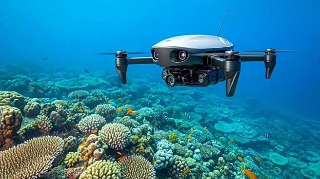
PlanBlue, a leader in seafloor intelligence solutions, has developed cutting-edge technology that integrates underwater hyperspectral imaging (UHI), artificial intelligence, and geo-referencing. This technology is designed to provide critical insights
for decision-making in various sectors, including security, defense, and offshore infrastructure. The company's solutions are compatible with autonomous underwater vehicles (AUVs), remotely operated vehicles (ROVs), and uncrewed surface vessels (USVs), offering flexibility for different operational needs. PlanBlue's technology is available in two form factors, allowing for optimal surveys at a 2-2.5 meter altitude from the seafloor. The Autoray sensor payload and the TowRay solution are designed for high-speed, precise monitoring and mapping of extensive seafloor areas.
Why It's Important?
PlanBlue's technology represents a significant advancement in seafloor mapping and monitoring, providing industries with the ability to conduct large-scale, efficient surveys. This development is crucial for sectors such as defense, where accurate and timely data can enhance security measures. Additionally, the technology supports environmental monitoring and biodiversity assessments, contributing to sustainable practices in marine environments. The integration of AI and UHI in seafloor intelligence solutions can lead to more informed decision-making, potentially reducing costs and increasing operational efficiency for businesses and government agencies involved in marine operations.
What's Next?
PlanBlue is expected to continue expanding its partnerships and deployment services, enhancing its technology's reach and application. As industries increasingly recognize the value of detailed seafloor data, demand for PlanBlue's solutions is likely to grow. Future developments may include further integration with existing marine equipment and the exploration of new markets and applications for their technology.