
What's Happening?
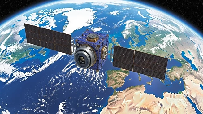
Landsat 9, a joint mission by NASA and the U.S. Geological Survey, has captured high-resolution images of the Tarim Basin in China, showcasing the convergence of desert winds and glacial meltwater. The
satellite, launched in 2021, is equipped with sensors that track environmental changes across continents, providing valuable data on shrinking glaciers, shifting coastlines, and urban expansion.
Why It's Important?
The images from Landsat 9 offer critical insights into global environmental changes, aiding scientists in understanding the impacts of climate change and human activity on natural landscapes. This data is essential for developing strategies to mitigate environmental degradation and manage natural resources sustainably. The satellite's ability to monitor changes in real-time enhances our capacity to respond to ecological challenges.
What's Next?
Landsat 9 will continue to provide data that supports environmental research and policy-making. The satellite's observations may lead to new initiatives aimed at preserving ecosystems and addressing climate change. Collaboration between NASA and international partners could expand the use of satellite data for global environmental monitoring.
Beyond the Headlines
The satellite's capabilities highlight the importance of technological advancements in environmental science. It also underscores the need for international cooperation in addressing global ecological issues, as data from Landsat 9 can inform policies worldwide.