


What's Happening?
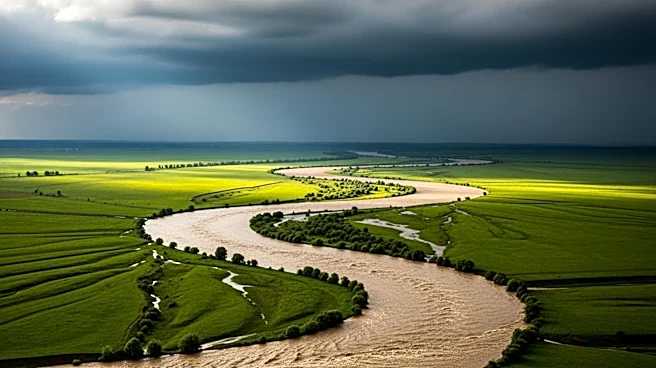
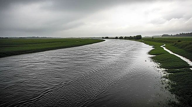
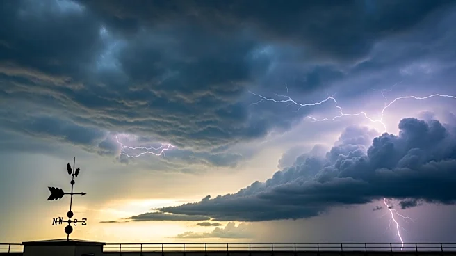
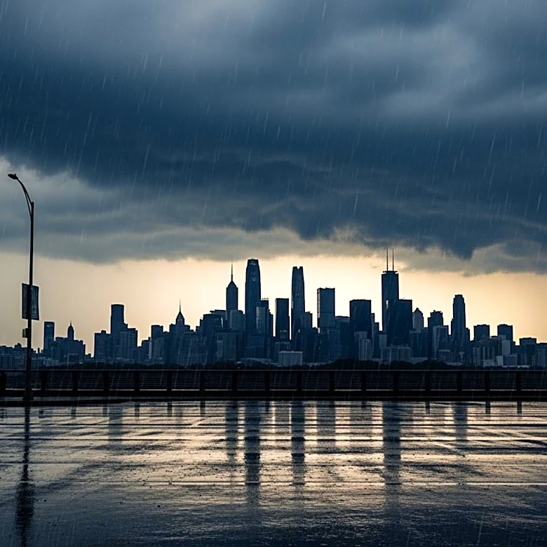
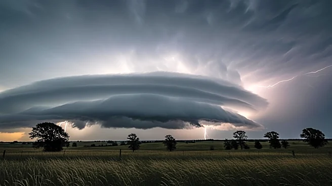
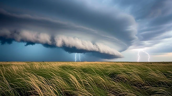
The Washington D.C. area is experiencing a prolonged period of rain, with eight consecutive days of measurable rainfall recorded at Reagan National Airport. This wet spell is expected to continue, with forecasts predicting strong storms on Wednesday that
could bring damaging wind gusts. The recent rains have helped alleviate drought conditions, but more precipitation is needed to fully address the deficit. The weather is expected to improve by Thursday, with drier and sunnier conditions anticipated through the weekend. This shift in weather patterns comes after a notably dry year, marking a significant change in the region's climate conditions.
Why It's Important?
The extended period of rain is crucial for addressing the ongoing drought in the D.C. area, which has seen below-average rainfall for several months. The recent precipitation has provided much-needed relief to the region's water supply and agricultural sectors. However, the potential for strong storms poses a risk to infrastructure and public safety, highlighting the need for preparedness and effective communication from local authorities. The weather patterns also reflect broader climate trends, with implications for future planning and resource management in the region.
What's Next?
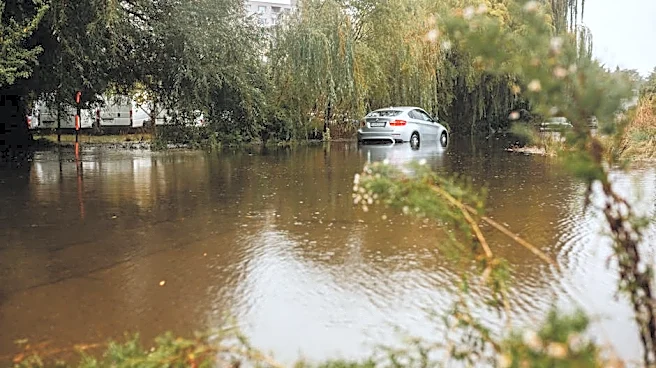
As the storm system moves through, residents and local authorities will need to remain vigilant for potential severe weather impacts, including flooding and wind damage. The transition to drier conditions later in the week will offer a reprieve, allowing for recovery and assessment of any storm-related damage. Looking ahead, continued monitoring of weather patterns will be essential to manage water resources and mitigate the effects of future droughts. The situation underscores the importance of adaptive strategies in response to changing climate conditions.