

What's Happening?
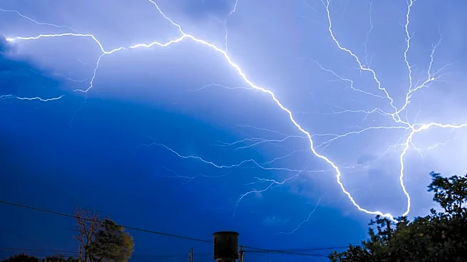
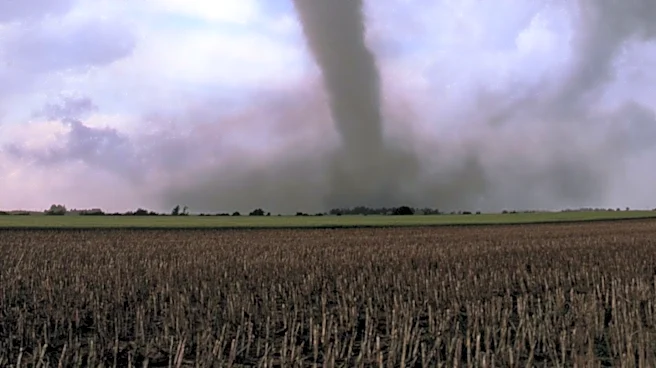
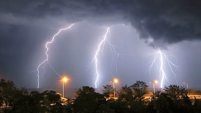
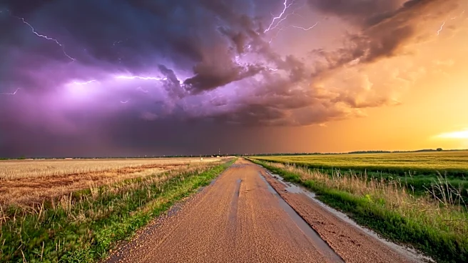
The Midwest is bracing for severe weather as tornado warnings have been issued for parts of Indiana and Michigan, including Elkhart, St. Joseph, Kosciusko, and Marshall Counties. The Storm Prediction Center has placed the region under a Level 3 risk for severe weather,
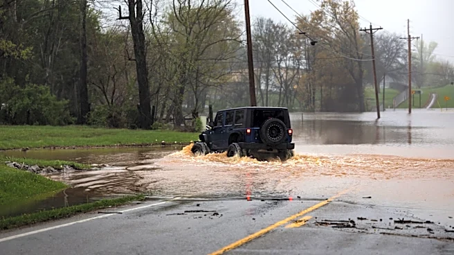
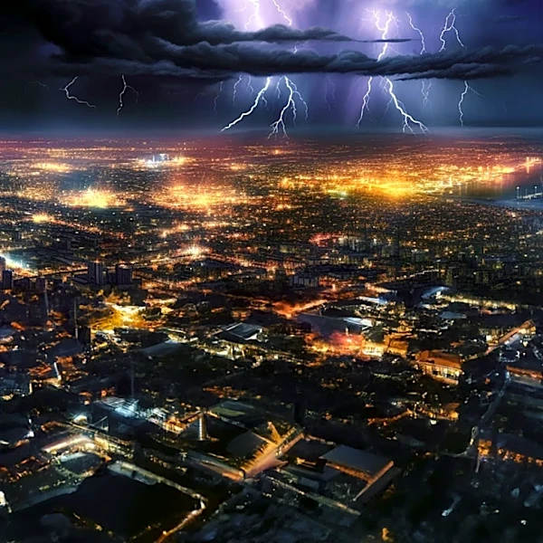
with damaging winds and heavy downpours expected. The area has already experienced significant rainfall, increasing the risk of localized flooding. The severe weather is part of a broader pattern of storms affecting the region, with additional rain and storms forecasted for the coming days. The weather conditions are expected to improve slightly towards the end of the week, with temperatures dropping to the upper 70s.
Why It's Important?
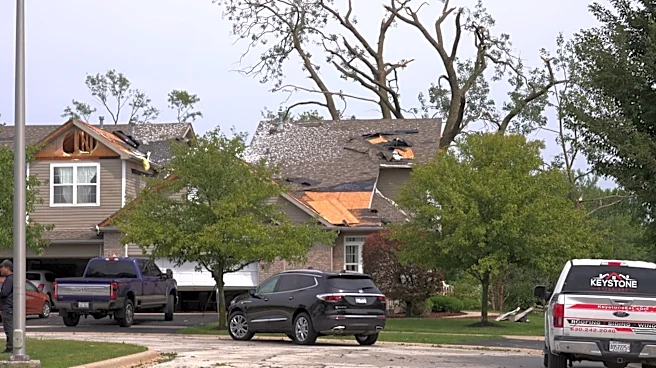
The severe weather poses significant risks to communities in the Midwest, including potential property damage, power outages, and travel disruptions. The tornado warnings highlight the need for residents to stay informed and prepared for rapidly changing conditions. The heavy rainfall and flooding risks also underscore the importance of effective emergency response and infrastructure resilience. This weather event is part of a broader trend of increasingly severe weather patterns, which may be influenced by climate change. The situation calls for continued investment in weather forecasting and disaster preparedness to mitigate the impact of such events on communities.
What's Next?
As the severe weather continues, local authorities and emergency services will remain on high alert to respond to any incidents. Residents are advised to monitor weather updates and follow safety guidelines to protect themselves and their property. The weather conditions are expected to stabilize towards the end of the week, but the region may still experience intermittent showers. In the long term, this event may prompt discussions about infrastructure improvements and climate adaptation strategies to better prepare for future severe weather events.