





What's Happening?
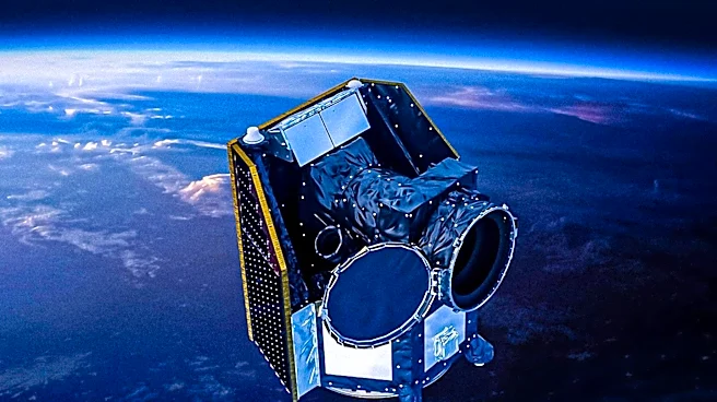
A new global dataset for sulfur dioxide (SO2) plume height has been developed using data from the TROPOspheric Monitoring Instrument (TROPOMI) satellite, covering the period from 2018 to 2025. This dataset, built upon previous research, utilizes an optimized
implementation of the Look-Up Table Covariance-Based Retrieval Algorithm (LUT-COBRA). This method offers improved sensitivity to low SO2 amounts and a broad spectrum of plume heights. The initiative aims to provide crucial information on SO2 plume altitude, which is vital for understanding volcanic events, their atmospheric and climatic impacts, and for enhancing aviation safety. The dataset analyzes global and regional SO2 variability, encompassing explosive eruptions, passive volcanic degassing, and anthropogenic emissions. Evaluations against SO2 plume-height estimates from the Infrared Atmospheric Sounding Interferometer (IASI) and the PlumeTraj toolkit show good agreement, with biases generally within 0.7–4 km depending on observation conditions and plume properties, and below 1 km for PlumeTraj comparisons.
Why It's Important?
The enhanced SO2 plume height dataset from TROPOMI is significant for several reasons. Accurate SO2 plume altitude data is critical for refining atmospheric models and climate predictions, as volcanic emissions can have substantial, albeit often localized, effects on atmospheric composition and radiative forcing. For aviation safety, precise knowledge of SO2 plume heights helps in rerouting flights to avoid hazardous volcanic ash and gas clouds, which can damage aircraft engines and compromise visibility. Furthermore, the dataset's ability to detect low SO2 amounts and a wide range of plume heights allows for a more comprehensive monitoring of both large-scale volcanic eruptions and smaller, more frequent degassing events, as well as anthropogenic sources. This improved monitoring capability can lead to better-informed environmental policies and more effective strategies for mitigating the impacts of SO2 emissions on air quality and public health.
What's Next?
The developers anticipate that this new TROPOMI SO2 plume height dataset will serve as a valuable resource for ongoing monitoring and quantification of volcanic SO2 emissions and their environmental impacts. The demonstrated complementarity with IASI and PlumeTraj suggests a potential for combining these datasets to achieve even more reliable information on SO2 plume height across the entire atmosphere. Future work may involve integrating this data into operational forecasting systems for volcanic ash and gas dispersion, further improving aviation safety and atmospheric modeling. Continued validation and refinement of the LUT-COBRA algorithm will also be crucial to maintain and enhance the accuracy and utility of the dataset as TROPOMI continues its mission.
Beyond the Headlines
Beyond its immediate applications, this advancement in SO2 plume height retrieval highlights a broader trend in environmental monitoring: the increasing reliance on sophisticated satellite technology and advanced algorithms to gather and interpret complex atmospheric data. The ability to accurately measure and track atmospheric constituents like SO2 from space provides an invaluable tool for understanding global biogeochemical cycles and human impacts on the environment. This also underscores the importance of international collaboration in scientific research and data sharing, as instruments like TROPOMI contribute to a global network of environmental observation. The continuous improvement of such retrieval algorithms pushes the boundaries of what is possible in remote sensing, offering deeper insights into Earth's dynamic systems and supporting evidence-based decision-making for environmental protection and disaster preparedness.