


What's Happening?
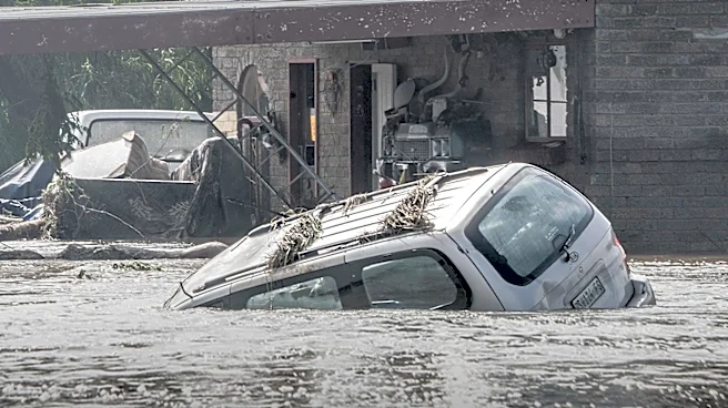
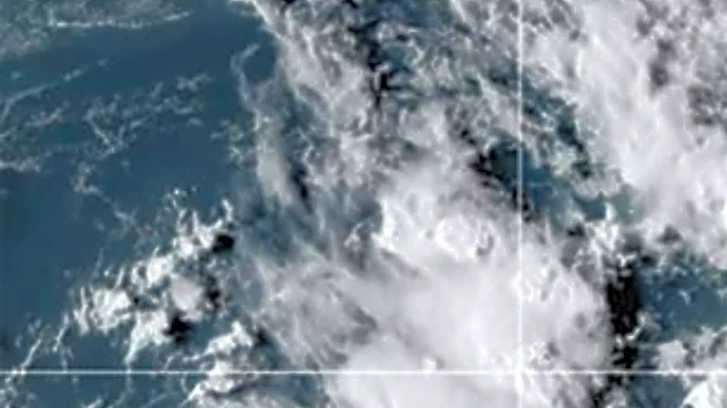
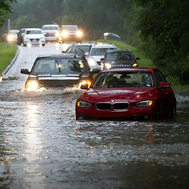
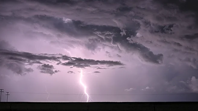
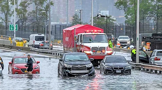
The Northeast, including the New York City metropolitan area, is facing a significant flash flood threat from an unusually strong storm expected to bring up to a month's worth of rain in a few days. The storm, intensified by a pocket of energy from the Great
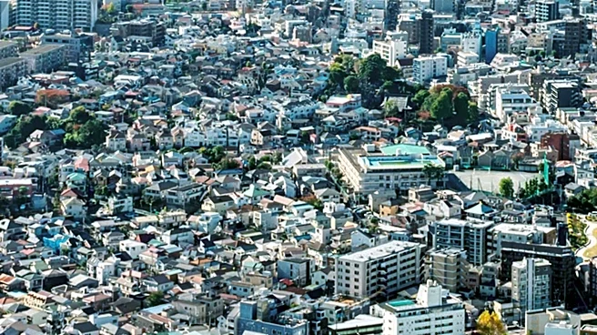
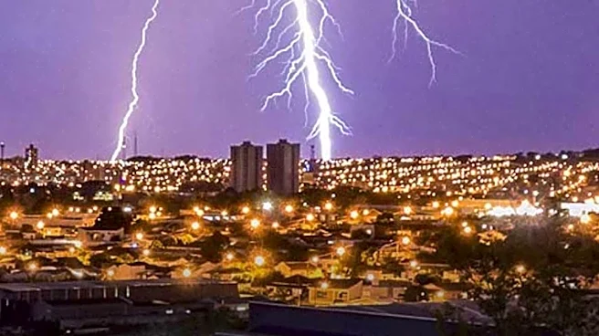
Lakes, is expected to linger over the region through Thursday. The system will tap into moisture-rich air from the Atlantic and Gulf, leading to heavy rain and thunderstorms. Urban areas and regions with poor drainage are at the highest risk for flooding, with potential impacts on travel and infrastructure.
Why It's Important?
The storm poses a serious risk to public safety and infrastructure in the Northeast, a region already vulnerable to flooding due to recent weather events. The potential for significant rainfall in a short period could lead to flash floods, disrupting transportation, damaging property, and endangering lives. The situation highlights the increasing frequency and intensity of extreme weather events, possibly linked to climate change, and underscores the need for improved preparedness and response strategies. The economic impact could be substantial, affecting businesses, insurance claims, and public resources.
What's Next?
Residents in the affected areas are advised to stay informed and take precautions to protect themselves and their property. Emergency services and local governments are likely to be on high alert, ready to respond to any incidents. The storm's progression will be closely monitored, with updates provided by the National Weather Service. The aftermath may prompt discussions on infrastructure resilience and climate adaptation strategies.