


What's Happening?
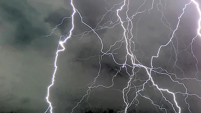
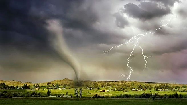
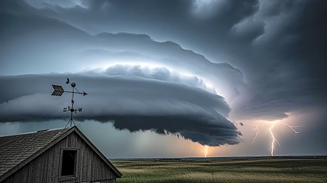
The National Weather Service has issued a severe thunderstorm watch for the D.C. region, effective until 8 p.m. This alert comes as a vigorous cold front is expected to sweep through the area, bringing strong to severe thunderstorms. The storms are anticipated
to move from west to east, with the highest likelihood of severe weather occurring between 4 p.m. and 7 p.m. in the Beltway area. The storms could bring damaging winds, large hail, and isolated flash flooding. The severe weather is expected to end the recent record-breaking heat, with temperatures dropping from the 90s to the upper 60s and 70s as the front passes.
Why It's Important?
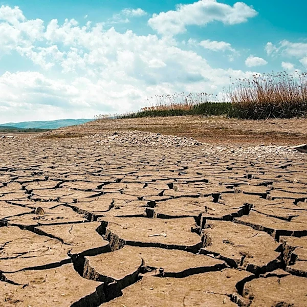
The severe weather poses a significant risk to residents in the D.C. area, potentially causing property damage and travel disruptions. The storms are expected to bring much-needed rain, which could alleviate some of the dry conditions caused by the recent heatwave. However, the intensity of the storms could lead to hazardous conditions, including power outages and flooding. The shift from record heat to cooler temperatures may also impact local businesses and outdoor activities planned for the coming days.
What's Next?
Following the passage of the cold front, the weather is expected to remain unsettled, with cloudy skies and periods of rain continuing into the weekend. Temperatures will be cooler, with highs only reaching the mid-50s to low 60s. The National Weather Service will continue to monitor the situation and provide updates as necessary. Residents are advised to stay informed about the weather conditions and take precautions to ensure their safety during the severe weather event.