





What's Happening?
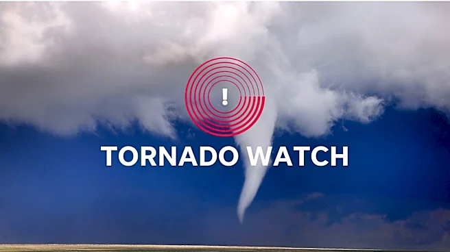
The Northeast region of the United States is bracing for severe storms, with a significant flash flood risk issued for central and northern New Jersey and New York City. Drenching downpours are anticipated around the evening commute. A Tornado Watch is also
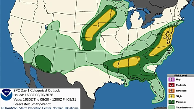
in effect for over 15 million people across parts of Delaware, District of Columbia, Maryland, New Jersey, Pennsylvania, and Virginia until 10 p.m. ET. These storms are advancing eastward after affecting parts of northeastern Arkansas, Kentucky, and Indiana. The NOAA’s Weather Prediction Center (WPC) has issued a widespread Level 2 out of 4 risk of flash flooding along the I-95 corridor from Connecticut to Virginia, while 17 million people in parts of New Jersey and New York City face a higher Level 3 out of 4 risk. Thunderstorms could produce rainfall rates of up to 2 inches per hour, potentially leading to urbanized flooding in major cities.
Why It's Important?
This severe weather event poses a substantial threat to public safety and infrastructure across a densely populated corridor of the U.S., impacting approximately 32 million people. The combination of flash flood warnings and tornado watches can lead to dangerous travel conditions, power outages, and property damage. For businesses, particularly those reliant on transportation and logistics along the I-95 corridor, disruptions could result in significant economic losses. Residents face immediate risks from flooding and potential tornadoes, necessitating emergency preparedness and potential evacuations. The strain on emergency services will be considerable, and the economic impact of recovery efforts could be substantial, affecting local and state budgets. The event highlights the vulnerability of urban areas to extreme weather and the need for robust infrastructure and emergency response systems.
What's Next?
Severe storms are expected to taper through the evening. However, by Friday, a stalled cold front is projected to allow more storms to develop over Virginia, North Carolina, and coastal Maryland, with rainfall rates potentially reaching 2 inches per hour. The Level 2 flood threat will shift south on Friday, covering an area from southern Delmarva to parts of central South Carolina. Widespread rainfall totals of 2 to 3 inches are possible from North Carolina north into coastal New Jersey, with localized amounts of 3 to 5 inches. There is a possibility that the flash flood risk could be upgraded in the coming days if the forecast holds. Authorities will continue to monitor weather patterns and issue updated warnings and advisories as needed, urging residents to stay informed and take necessary precautions.
Beyond the Headlines
The recurring nature of severe weather events in the U.S., particularly along the East Coast, underscores broader climate trends and their implications for urban planning and infrastructure development. The vulnerability of major metropolitan areas like New York City and Philadelphia to intense rainfall and flooding highlights the need for long-term strategies to enhance resilience. This includes investing in improved drainage systems, flood defenses, and early warning technologies. The economic burden of these events, from immediate damage to long-term recovery, can strain public resources and impact insurance markets. Furthermore, the psychological toll on communities repeatedly affected by severe weather can be significant, emphasizing the importance of community support and mental health resources in disaster preparedness and response.