


What's Happening?
Tropical Storm Amanda, the first named storm of the 2026 hurricane season, has formed in the eastern Pacific Ocean as of June 3, 2026. This development is captured in a nighttime composite image using data from the Visible Infrared Imaging Radiometer
Suite (VIIRS) aboard the NOAA-20 platform. The formation of Amanda is linked to ocean conditions influenced by a developing El Niño, which is expected to result in a more active hurricane season in the eastern Pacific compared to the Atlantic basin. Historically, most tropical storms in this region remain over the ocean, but some do impact areas such as Hawaii, the west coast of Mexico, and the southwestern United States.
Why It's Important?
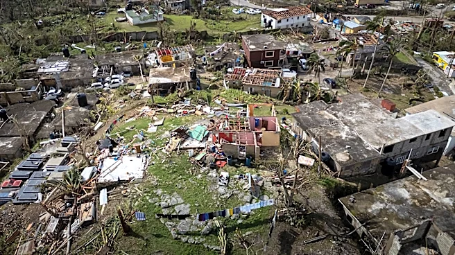
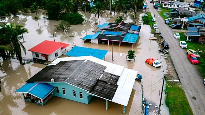
The emergence of Tropical Storm Amanda highlights the potential for increased storm activity in the eastern Pacific due to El Niño conditions. This could have significant implications for regions prone to tropical storms, including Hawaii and parts of the U.S. West Coast. An active hurricane season can lead to increased risks of flooding, property damage, and disruptions to local economies. Additionally, the formation of such storms can strain emergency response systems and necessitate heightened preparedness measures in affected areas. The situation underscores the importance of monitoring and forecasting capabilities to mitigate the impacts of severe weather events.
What's Next?
As the hurricane season progresses, monitoring of storm developments will be crucial, particularly in light of the expected influence of El Niño. Authorities in regions at risk, such as Hawaii and the southwestern United States, may need to prepare for potential impacts from increased storm activity. This could involve updating emergency response plans, ensuring infrastructure resilience, and communicating risks to the public. Continued observation and data collection by agencies like NASA and NOAA will be vital in providing accurate forecasts and early warnings to minimize the adverse effects of these weather events.