What's Happening?
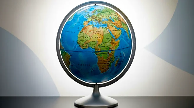
The African Union (AU) is advocating for the replacement of the Mercator projection map with the Equal Earth projection. The Mercator map, created in the 16th century for navigational purposes, distorts the size of land masses, making Africa appear smaller than it is. The AU, comprising 55 African nations, argues that this misrepresentation affects the continent's global perception. The Correct the Map campaign, supported by Africa-based advocacy groups, promotes the Equal Earth projection, which more accurately represents landmass sizes, particularly for Africa. The campaign aims to shift perceptions and highlight Africa's true scale and potential.
Why It's Important?
The push to replace the Mercator projection with the Equal Earth map has significant implications for education and global perceptions of Africa. By accurately representing Africa's size, the campaign seeks to correct historical misrepresentations that have contributed to a skewed view of the continent's importance and potential. This change could foster a deeper understanding of Africa's role in the global community, impacting educational curricula and potentially influencing international relations and economic partnerships. The initiative highlights the importance of accurate geographical representations in shaping cultural and political narratives.
What's Next?
The African Union's campaign may lead to changes in educational materials and official maps used globally. If successful, the Equal Earth projection could become the standard in African classrooms and potentially influence map standards in other regions. The campaign's progress will depend on the support from educational institutions, governments, and international organizations. The AU's efforts may also inspire similar movements in other regions seeking accurate representation on global maps.
Beyond the Headlines
The campaign to replace the Mercator projection raises broader questions about the impact of historical inaccuracies in shaping global perceptions. It underscores the need for critical examination of widely accepted norms and the potential for change in long-standing practices. The initiative also highlights the role of cartography in cultural identity and the power of maps in influencing geopolitical narratives.


