


What's Happening?
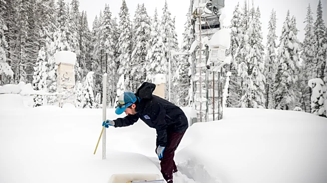
The National Weather Service has issued winter storm watches for California and Nevada, warning of up to eight feet of snow in the Sierra Nevada and Lake Tahoe regions. The storm is expected to bring damaging winds and potentially impossible travel conditions
in mountain areas. The watch is in effect from Sunday evening through Wednesday evening, with the most severe impacts anticipated in the Sierra Nevada, where snowfall totals could reach 5 to 7 feet on the highest peaks. Wind gusts may reach 60 mph, increasing the risk of drifting snow and road closures.
Why It's Important?
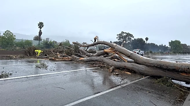
The storm poses significant challenges for travel and safety in the affected regions, particularly in mountainous areas where heavy snowfall and strong winds could lead to whiteout conditions. The potential for road closures and chain controls could disrupt transportation and logistics, impacting residents and businesses. The storm also highlights the ongoing vulnerability of the western U.S. to extreme weather events, which can have cascading effects on infrastructure and emergency services.
What's Next?
Residents and travelers in the affected areas are advised to prepare for severe weather conditions and consider delaying travel if possible. The National Weather Service recommends carrying a winter storm kit, including tire chains, blankets, and emergency supplies, in case of stranding. Authorities will continue to monitor the storm's development and provide updates on safety measures and travel advisories.