







What's Happening?
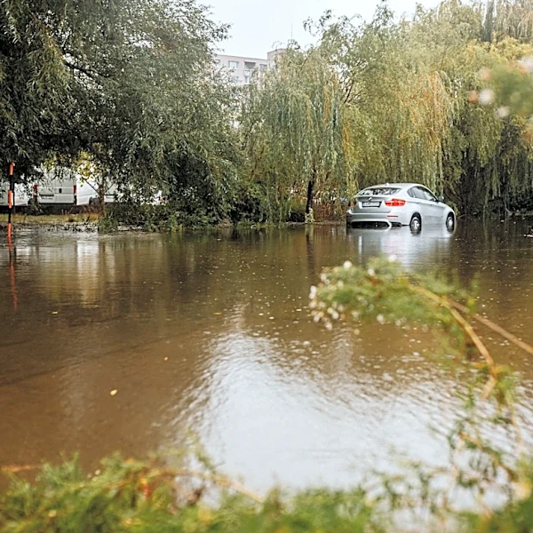
Maryland is experiencing severe weather with a tornado watch in effect until 10 p.m. for multiple counties, including Baltimore City. The storms are expected to bring heavy rain, strong winds, and frequent lightning, with the potential for flash flooding.
A flood watch is also in place for several counties until early Wednesday morning. Residents are advised to stay alert for weather updates and prepare for possible power outages and travel disruptions.
Why It's Important?
The severe weather conditions pose a threat to public safety and infrastructure across Maryland. The risk of tornadoes and flash flooding can lead to significant property damage and disrupt daily activities. The economic impact could be felt in terms of business interruptions and increased demand for emergency services. The situation underscores the importance of preparedness and effective communication from local authorities to ensure community safety.
What's Next?
As the storm system progresses, the threat of severe weather is expected to diminish by Wednesday. However, scattered showers and thunderstorms may continue throughout the week. Emergency services and local governments will remain vigilant, providing updates and assistance as needed. Residents are encouraged to monitor weather alerts and take necessary precautions to protect themselves and their property.