







What's Happening?
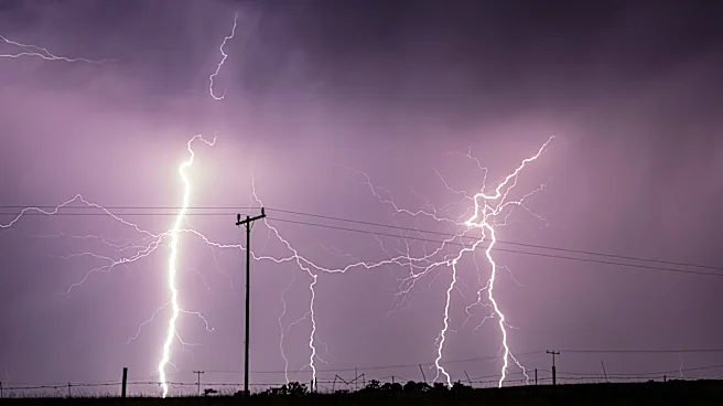
The Pittsburgh area is bracing for severe weather on Tuesday, with an Enhanced Risk level indicating a higher likelihood of numerous severe storms. The forecast predicts damaging winds, flash flooding, small hail, and the possibility of tornadoes, particularly
in the afternoon and evening. The storms are expected to move through the region before 5 p.m., with conditions improving later in the week. The area has experienced above-normal temperatures and precipitation this month, contributing to the current weather conditions.
Why It's Important?
The severe weather forecast poses significant risks to the Pittsburgh area, including potential damage to property and disruptions to daily life. Residents are advised to stay alert and prepared for possible emergencies, such as power outages and flooding. The weather conditions could impact transportation, outdoor activities, and local businesses. The forecast serves as a reminder of the importance of emergency preparedness and the need for effective communication from local authorities to ensure public safety.
What's Next?
Following the severe weather event, the region is expected to experience cooler temperatures and lower humidity, providing relief from the recent heat. Local authorities and emergency services will likely assess any damage and coordinate recovery efforts. Residents are encouraged to stay informed through local news and weather updates. The community's response to the severe weather will be crucial in minimizing the impact and ensuring a swift recovery.