
What's Happening?
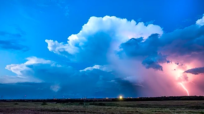
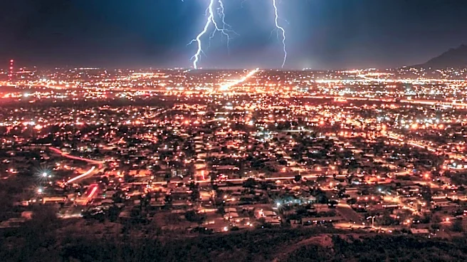
Severe storms have caused significant disruption across the Midwest and Mid-Atlantic regions, leading to widespread power outages and extensive damage. Over 450,000 utility customers were without power as
of Friday morning, with Michigan alone accounting for more than 275,000 outages. The storms, which occurred on Thursday, produced powerful wind gusts between 60 and 75 mph, snapping numerous trees and power lines from the Dakotas to Delaware. East Detroit, Hamtramck, and Belle Isle, Michigan, reported extensive damage, prompting the National Weather Service to investigate whether a tornado or destructive thunderstorm winds were responsible. Flash flooding has also been a concern, with potential for it in central Pennsylvania and Washington, D.C. The severe weather threat is expected to persist, with a Level 2 out of 5 risk for damaging winds and flash flooding in areas including Detroit, Columbus, Washington, D.C., Cleveland, Pittsburgh, Charleston, Richmond, and Virginia Beach. Scattered storms are anticipated in the afternoon, becoming more organized overnight.
Why It's Important?
The ongoing severe weather poses significant risks to public safety and infrastructure across multiple U.S. states. Widespread power outages disrupt daily life, impact businesses, and can create hazardous conditions, especially for vulnerable populations. The extensive damage to trees and power lines necessitates considerable resources for repair and restoration, potentially leading to prolonged service interruptions. The threat of flash flooding, particularly in urban areas and national parks like Zion and the Grand Canyon, can lead to dangerous conditions, property damage, and potential loss of life. The economic impact includes costs associated with emergency response, infrastructure repair, and business interruptions. For residents, the storms mean potential displacement, property loss, and the inconvenience of power loss, highlighting the need for robust emergency preparedness and response systems.
What's Next?
The severe weather pattern is expected to continue impacting various regions over the weekend. On Saturday, a Level 2 out of 5 risk for damaging winds and flash flooding is forecast from Lexington, Kentucky, to Wilmington, North Carolina, including cities like Charlotte, Raleigh, and Greensboro. On Sunday, a brief respite from severe weather is anticipated for much of the country, with only a Level 1 out of 5 threat in the Northern Plains around the Dakotas. However, flooding remains a concern on Sunday around Zion National Park, Bryce Canyon National Park, and the Grand Canyon National Park in northern Arizona and southern Utah, where heavy thunderstorms could rapidly trigger flash floods. Residents in these areas are advised to remain weather-aware and prepared for rapidly changing conditions as utility crews work to restore power and assess damage.
Beyond the Headlines
The recurring intensity and widespread nature of these severe weather events underscore broader discussions about climate patterns and infrastructure resilience in the United States. The extensive damage and prolonged power outages highlight vulnerabilities in existing power grids and urban planning, particularly in the face of increasingly frequent and powerful storms. Communities may need to consider long-term strategies for hardening infrastructure, improving early warning systems, and developing more robust disaster recovery plans. The economic strain on affected regions, coupled with the human toll of displacement and disruption, could prompt further investment in climate adaptation measures and emergency services. The National Weather Service's ongoing damage surveys are crucial for understanding storm characteristics and improving future forecasting and preparedness efforts.